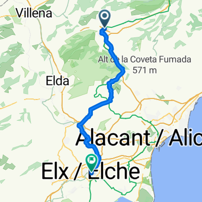
SSA Rondrit Sïerra de Fontanella 50 km
A cycling route starting in Castalla, Valencia, Spain.
Overview
About this route
From Onil you climb Puerto de Onil followed by a beautiful descent to Banyeres de Mariola. Banyeres de Mariola is next to the Sierra Mariola and is the highest village in the province of Alicante. The last part of this stage takes you through olive groves and a breathtaking beautiful landscape to Biar. The main attraction in Biar is undoubtedly the Moorish castle that looms high above the town.
- -:--
- Duration
- 48.4 km
- Distance
- 663 m
- Ascent
- 661 m
- Descent
- ---
- Avg. speed
- ---
- Max. altitude
Route quality
Waytypes & surfaces along the route
Waytypes
Quiet road
9.7 km
(20 %)
Road
2.4 km
(5 %)
Surfaces
Paved
1.5 km
(3 %)
Unpaved
0.5 km
(1 %)
Asphalt
1.5 km
(3 %)
Unpaved (undefined)
0.5 km
(1 %)
Undefined
46.4 km
(96 %)
Continue with Bikemap
Use, edit, or download this cycling route
You would like to ride SSA Rondrit Sïerra de Fontanella 50 km or customize it for your own trip? Here is what you can do with this Bikemap route:
Free features
- Save this route as favorite or in collections
- Copy & plan your own version of this route
- Sync your route with Garmin or Wahoo
Premium features
Free trial for 3 days, or one-time payment. More about Bikemap Premium.
- Navigate this route on iOS & Android
- Export a GPX / KML file of this route
- Create your custom printout (try it for free)
- Download this route for offline navigation
Discover more Premium features.
Get Bikemap PremiumFrom our community
Other popular routes starting in Castalla
- GRAVEL Rondrit Castalla
- Distance
- 84.1 km
- Ascent
- 1,048 m
- Descent
- 1,050 m
- Location
- Castalla, Valencia, Spain
- Mountainbikeroute Font Roja 45 km
- Distance
- 45.4 km
- Ascent
- 854 m
- Descent
- 856 m
- Location
- Castalla, Valencia, Spain
- Dag 3 Alicante - Valencia Castalla - La Torre de les Macanes 43 km
- Distance
- 42 km
- Ascent
- 638 m
- Descent
- 497 m
- Location
- Castalla, Valencia, Spain
- castalla-onil tuneles alcoy
- Distance
- 55.3 km
- Ascent
- 625 m
- Descent
- 625 m
- Location
- Castalla, Valencia, Spain
- SSA Rondrit Siërra de Mariola 65 km
- Distance
- 65.1 km
- Ascent
- 1,213 m
- Descent
- 1,136 m
- Location
- Castalla, Valencia, Spain
- xorret de cati
- Distance
- 13.1 km
- Ascent
- 530 m
- Descent
- 287 m
- Location
- Castalla, Valencia, Spain
- Rondrit 30 km licht geaccidenteerd over Terol en Ibi
- Distance
- 30.1 km
- Ascent
- 309 m
- Descent
- 309 m
- Location
- Castalla, Valencia, Spain
- SSA Rondrit Sïerra de Fontanella 50 km
- Distance
- 48.4 km
- Ascent
- 663 m
- Descent
- 661 m
- Location
- Castalla, Valencia, Spain
Open it in the app