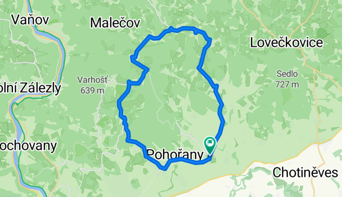
Cycling Route in Žitenice, Ústecký kraj, Czechia
kolečko ve středohoří

Open this route in Bikemap Web
Distance
Ascent
Descent
Duration
Avg. Speed
Max. Elevation
Cycling Route in Žitenice, Ústecký kraj, Czechia

Open this route in Bikemap Web
Ploskovice, po silnici po rovince ro Vinného. Vzhůru po silnici do Třebušína, Řepčic a Haslic. Sjezd po silnici do Homole u Panny a Lhoty pod Pannou. Pak ostře po asfaltu do Probošťova, Tašova a k Babinám. Pak odměna ve formě sjezdu do Lbína. Na konci vesnice vlevo po červené po šterku a pak lesní cestou (pěkná, široká a bez bláta) do Skalice. Odtud asfaltkou do Žitenic, poslední výstup a mírný sjezd do Ploskovic.

You can use this route as a template in our cycling route planner so that you don’t have to start from scratch. Customize it based on your needs to plan your perfect cycling tour.