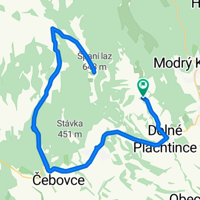
Str. Plachtince - Čebovce - Španí laz - Str. Plachtince
- 47.6 km
- 824 m
- 826 m
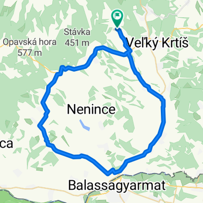
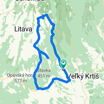
- Veľký Krtíš, Banská Bystrica Region, Slovakia
A cycling route starting in Veľký Krtíš, Banská Bystrica Region, Slovakia.
Overview
This is a challenging route intended for experienced bikers with all mountain bikes. On the route, you will find many points of interest such as: the unique Opava lookout tower, the Kosihov stone entrance, the Green Castle, and Španí meadow. In my opinion, this is the most beautiful continuous AM trail you can access in our region.
Continue with Bikemap
You would like to ride Opavské Best of or customize it for your own trip? Here is what you can do with this Bikemap route:
Free trial for 3 days, or one-time payment. More about Bikemap Premium.
Discover more Premium features.
Get Bikemap PremiumFrom our community
Open it in the app