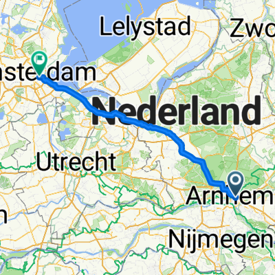
Cycling Route in Arnhem, Provincie Gelderland, Netherlands
Giro d'Italia 2016 Stage 2: 190 km Arnhem - Nijmegen
4

Open this route in the Bikemap app

Open this route in Bikemap Web
180
km
Distance
Distance
337
m
Ascent
Ascent
319
m
Descent
Descent
-:--
h
Duration
Duration
--
km/h
Avg. Speed
Avg. Speed
---
m
Max. Elevation
Max. Elevation