
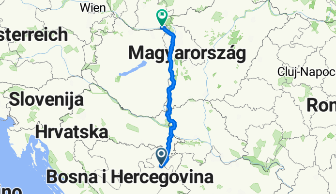
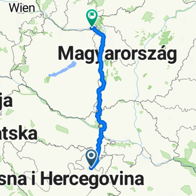
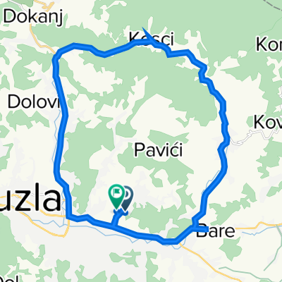
koniec prekvapenia
A cycling route starting in Solina, Federation of Bosnia and Herzegovina, Bosnia and Herzegovina.
Overview
About this route
navarou ma hodite za Tuzlu kvoli kopcom
- -:--
- Duration
- 474.2 km
- Distance
- 497 m
- Ascent
- 864 m
- Descent
- ---
- Avg. speed
- ---
- Avg. speed

Route quality
Waytypes & surfaces along the route
Waytypes
Busy road
211.9 km
(45 %)
Quiet road
108.9 km
(23 %)
Surfaces
Paved
305.7 km
(64 %)
Unpaved
34.5 km
(7 %)
Asphalt
295.4 km
(62 %)
Gravel
17.8 km
(4 %)
Continue with Bikemap
Use, edit, or download this cycling route
You would like to ride koniec prekvapenia or customize it for your own trip? Here is what you can do with this Bikemap route:
Free features
- Save this route as favorite or in collections
- Copy & plan your own version of this route
- Sync your route with Garmin or Wahoo
Premium features
Free trial for 3 days, or one-time payment. More about Bikemap Premium.
- Navigate this route on iOS & Android
- Export a GPX / KML file of this route
- Create your custom printout (try it for free)
- Download this route for offline navigation
Discover more Premium features.
Get Bikemap PremiumFrom our community
Other popular routes starting in Solina
 koniec prekvapenia
- Distance
- 474.2 km
- Ascent
- 497 m
- Descent
- 864 m
- Location
- Solina, Federation of Bosnia and Herzegovina, Bosnia and Herzegovina
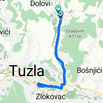
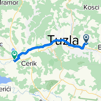
 Bosna i Hercegovina, Tuzla to Aleja Alije Izetbegovića, Tuzla
- Distance
- 3.4 km
- Ascent
- 0 m
- Descent
- 23 m
- Location
- Solina, Federation of Bosnia and Herzegovina, Bosnia and Herzegovina
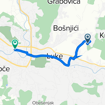
 Veljka Lukića Kurjaka, Tuzla to Veljka Lukića Kurjaka, Tuzla
- Distance
- 10 km
- Ascent
- 88 m
- Descent
- 88 m
- Location
- Solina, Federation of Bosnia and Herzegovina, Bosnia and Herzegovina
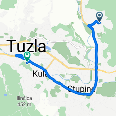
 Bosna i Hercegovina, Tuzla to Put Križani 107, Tuzla
- Distance
- 24 km
- Ascent
- 367 m
- Descent
- 388 m
- Location
- Solina, Federation of Bosnia and Herzegovina, Bosnia and Herzegovina
 Put Križani 62, to 44.512° N 18.580° W
- Distance
- 14.1 km
- Ascent
- 76 m
- Descent
- 156 m
- Location
- Solina, Federation of Bosnia and Herzegovina, Bosnia and Herzegovina
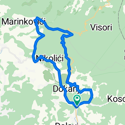 R459 to R459
- Distance
- 23.6 km
- Ascent
- 888 m
- Descent
- 889 m
- Location
- Solina, Federation of Bosnia and Herzegovina, Bosnia and Herzegovina
 Badre Hills-Put Viništa 17.05.2020.
- Distance
- 4.9 km
- Ascent
- 61 m
- Descent
- 94 m
- Location
- Solina, Federation of Bosnia and Herzegovina, Bosnia and Herzegovina
 Gradovrška, Tuzla to Gradovrška, Tuzla
- Distance
- 14.9 km
- Ascent
- 134 m
- Descent
- 120 m
- Location
- Solina, Federation of Bosnia and Herzegovina, Bosnia and Herzegovina
Open it in the app