
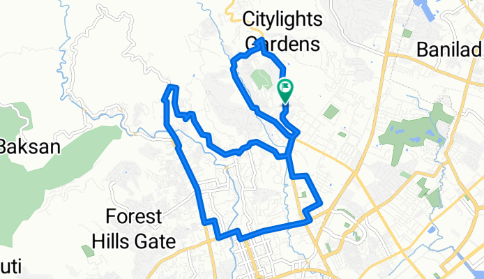
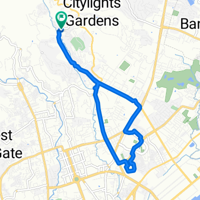
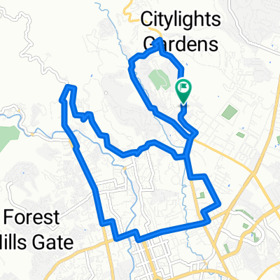
PC Hills-Kalunasan- Busay
A cycling route starting in Apas, Central Visayas, Philippines.
Overview
About this route
- -:--
- Duration
- 14.5 km
- Distance
- 264 m
- Ascent
- 266 m
- Descent
- ---
- Avg. speed
- ---
- Max. altitude
Route quality
Waytypes & surfaces along the route
Waytypes
Road
6.8 km
(47 %)
Quiet road
2 km
(14 %)
Surfaces
Paved
7.8 km
(54 %)
Asphalt
5.4 km
(37 %)
Concrete
2.5 km
(17 %)
Undefined
6.7 km
(46 %)
Continue with Bikemap
Use, edit, or download this cycling route
You would like to ride PC Hills-Kalunasan- Busay or customize it for your own trip? Here is what you can do with this Bikemap route:
Free features
- Save this route as favorite or in collections
- Copy & plan your own version of this route
- Sync your route with Garmin or Wahoo
Premium features
Free trial for 3 days, or one-time payment. More about Bikemap Premium.
- Navigate this route on iOS & Android
- Export a GPX / KML file of this route
- Create your custom printout (try it for free)
- Download this route for offline navigation
Discover more Premium features.
Get Bikemap PremiumFrom our community
Other popular routes starting in Apas
 compostela paril sirao
- Distance
- 71.5 km
- Ascent
- 983 m
- Descent
- 979 m
- Location
- Apas, Central Visayas, Philippines
 Route to I. Villa, Cebu City
- Distance
- 3.4 km
- Ascent
- 39 m
- Descent
- 25 m
- Location
- Apas, Central Visayas, Philippines
 Paseo Sirao
- Distance
- 40.4 km
- Ascent
- 777 m
- Descent
- 778 m
- Location
- Apas, Central Visayas, Philippines
 cebu lapu lapu
- Distance
- 41 km
- Ascent
- 72 m
- Descent
- 70 m
- Location
- Apas, Central Visayas, Philippines
 Talamban - Mandaue - Mactan - CCLEX Loop
- Distance
- 47.8 km
- Ascent
- 172 m
- Descent
- 172 m
- Location
- Apas, Central Visayas, Philippines
 Chill ride
- Distance
- 10.5 km
- Ascent
- 110 m
- Descent
- 109 m
- Location
- Apas, Central Visayas, Philippines
 jy-talamban-pulangbato-malubog-jy
- Distance
- 28 km
- Ascent
- 696 m
- Descent
- 689 m
- Location
- Apas, Central Visayas, Philippines
 PC Hills-Kalunasan- Busay
- Distance
- 14.5 km
- Ascent
- 264 m
- Descent
- 266 m
- Location
- Apas, Central Visayas, Philippines
Open it in the app