
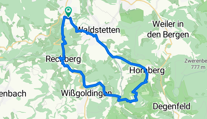
Straßdorf - Kaltes Feld - Rechberg - Straßdorf CLONED FROM ROUTE 452653
A cycling route starting in Waldstetten, Baden-Württemberg, Germany.
Overview
About this route
- -:--
- Duration
- 18.7 km
- Distance
- 494 m
- Ascent
- 491 m
- Descent
- ---
- Avg. speed
- ---
- Avg. speed

Route quality
Waytypes & surfaces along the route
Waytypes
Track
6 km
(32 %)
Quiet road
4.3 km
(23 %)
Surfaces
Paved
11.7 km
(63 %)
Unpaved
4.7 km
(25 %)
Asphalt
8 km
(43 %)
Paved (undefined)
3.7 km
(20 %)
Continue with Bikemap
Use, edit, or download this cycling route
You would like to ride Straßdorf - Kaltes Feld - Rechberg - Straßdorf CLONED FROM ROUTE 452653 or customize it for your own trip? Here is what you can do with this Bikemap route:
Free features
- Save this route as favorite or in collections
- Copy & plan your own version of this route
- Sync your route with Garmin or Wahoo
Premium features
Free trial for 3 days, or one-time payment. More about Bikemap Premium.
- Navigate this route on iOS & Android
- Export a GPX / KML file of this route
- Create your custom printout (try it for free)
- Download this route for offline navigation
Discover more Premium features.
Get Bikemap PremiumFrom our community
Other popular routes starting in Waldstetten
 Im Weingarten nach Im Weingarten
- Distance
- 40.8 km
- Ascent
- 634 m
- Descent
- 634 m
- Location
- Waldstetten, Baden-Württemberg, Germany
 Trasse zum Wäscherschloss
- Distance
- 30.1 km
- Ascent
- 383 m
- Descent
- 380 m
- Location
- Waldstetten, Baden-Württemberg, Germany
 Bettringen, Rechberg, Reiterleskapelle, Weißenstein, Weiler
- Distance
- 32.2 km
- Ascent
- 639 m
- Descent
- 489 m
- Location
- Waldstetten, Baden-Württemberg, Germany
 Bernhardus-Glaubensweg
- Distance
- 10.6 km
- Ascent
- 383 m
- Descent
- 385 m
- Location
- Waldstetten, Baden-Württemberg, Germany
 Trails am Stuifen/Kalten Feld
- Distance
- 11.3 km
- Ascent
- 497 m
- Descent
- 494 m
- Location
- Waldstetten, Baden-Württemberg, Germany
 2010 04 18
- Distance
- 18.6 km
- Ascent
- 467 m
- Descent
- 339 m
- Location
- Waldstetten, Baden-Württemberg, Germany
 Bettringen-Aalen-Ellwangen-Abtsgmünd-Mögglingen
- Distance
- 86.1 km
- Ascent
- 558 m
- Descent
- 556 m
- Location
- Waldstetten, Baden-Württemberg, Germany
 Hölzle über Hornberg
- Distance
- 24 km
- Ascent
- 490 m
- Descent
- 449 m
- Location
- Waldstetten, Baden-Württemberg, Germany
Open it in the app