Premium Badge Download on the App Store Get it on Google Play Turn-by-turn Navigation Offline Maps Bike Type Optimized Routing Premium Maps Custom Bike Computer Export Routes Route Previews Fall Detection Premium Support

Cycling Route in Höchst im Odenwald, Hesse, Germany

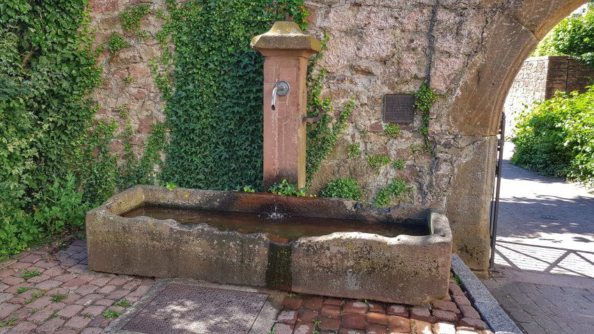
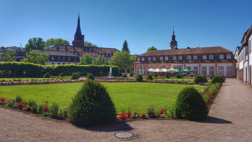
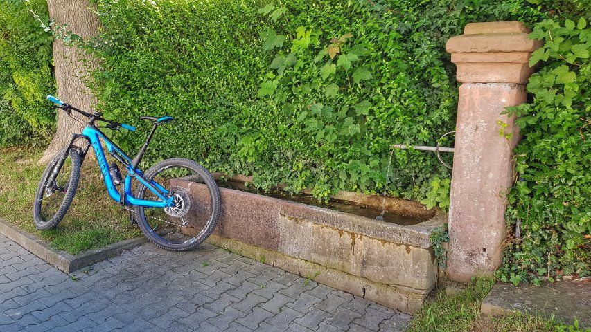
von Brunnen zu Brunnen nach Erbach

1
Open this route in Bikemap Web

Open this route in Bikemap Web

43 km
Distance
201 m
Ascent
199 m
Descent
-:-- h
Duration
-- km/h
Avg. Speed
--- m
Max. Elevation

About This Route

Heute wieder ein paar Grad wärmer wie gestern, daher nur entspanntes Fahren auf dem Mümlingtalradweg nach Erbach. Bei der Gelegenheit wollte ich mal nach dem Dorfbrunnen in Stockheim suchen. Den habe ich dann auch auf Anhieb gefunden, unmittelbar an der Stockheimer Mühle. Brunnen und Mühle stehen unter Denkmalschutz. Dann noch bis zum Lustgarten in Erbach und locker zurück nach Höchst. #noebike

This cycling route is ideal for: City bike

You will cycle on the following surfaces: Paved

Route Photos

Customize this cycling route with the Bikemap route planner.

Make it yours!

You can use this route as a template in our cycling route planner so that you don’t have to start from scratch. Customize it based on your needs to plan your perfect cycling tour.