
*Die kleine Hackrunde*
A cycling route starting in Treuen, Saxony, Germany.
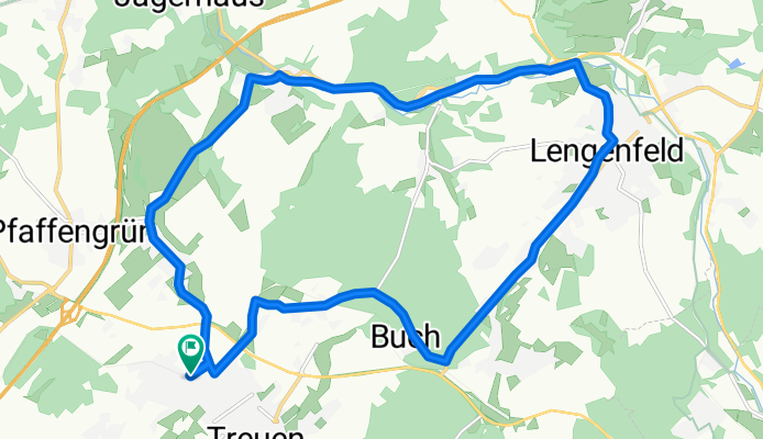
Overview
About this route
Rennrad möglich, aber teilweise schlechter Asphalt!
im Göltzschtal wahlweise Radweg nutzbar
- -:--
- Duration
- 16.9 km
- Distance
- 239 m
- Ascent
- 237 m
- Descent
- ---
- Avg. speed
- ---
- Max. altitude
Route quality
Waytypes & surfaces along the route
Waytypes
Quiet road
6.1 km
(36 %)
Road
4.6 km
(27 %)
Surfaces
Paved
14.5 km
(86 %)
Unpaved
0.2 km
(1 %)
Asphalt
14.4 km
(85 %)
Paved (undefined)
0.2 km
(1 %)
Continue with Bikemap
Use, edit, or download this cycling route
You would like to ride *Die kleine Hackrunde* or customize it for your own trip? Here is what you can do with this Bikemap route:
Free features
- Save this route as favorite or in collections
- Copy & plan your own version of this route
- Sync your route with Garmin or Wahoo
Premium features
Free trial for 3 days, or one-time payment. More about Bikemap Premium.
- Navigate this route on iOS & Android
- Export a GPX / KML file of this route
- Create your custom printout (try it for free)
- Download this route for offline navigation
Discover more Premium features.
Get Bikemap PremiumFrom our community
Other popular routes starting in Treuen
 Vogtland-Tour I
- Distance
- 57.8 km
- Ascent
- 814 m
- Descent
- 814 m
- Location
- Treuen, Saxony, Germany
 3 Burgen 1 Schloss
- Distance
- 56.2 km
- Ascent
- 690 m
- Descent
- 690 m
- Location
- Treuen, Saxony, Germany
 Drei Teiche
- Distance
- 15.8 km
- Ascent
- 307 m
- Descent
- 307 m
- Location
- Treuen, Saxony, Germany
 *Die kleine Hackrunde*
- Distance
- 16.9 km
- Ascent
- 239 m
- Descent
- 237 m
- Location
- Treuen, Saxony, Germany
 Treuen - DD
- Distance
- 188.8 km
- Ascent
- 614 m
- Descent
- 940 m
- Location
- Treuen, Saxony, Germany
 TEST *Der Greizer*
- Distance
- 44.9 km
- Ascent
- 491 m
- Descent
- 491 m
- Location
- Treuen, Saxony, Germany
 Treuen-Schreiesgrün-Oberlauterbach-Trieb
- Distance
- 11.8 km
- Ascent
- 156 m
- Descent
- 154 m
- Location
- Treuen, Saxony, Germany
 Waldbrand
- Distance
- 15.9 km
- Ascent
- 292 m
- Descent
- 292 m
- Location
- Treuen, Saxony, Germany
Open it in the app