

Marinwood to the Point Reyes Lightouse and back
A cycling route starting in Lucas Valley-Marinwood, California, United States.
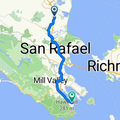
Overview
About this route
Beautiful ride with rewood forests, open ranchlands and ocean vistas. Passes through the towns of Nicasio, Pt. Reyes Station, and Inverness.
- -:--
- Duration
- 130.6 km
- Distance
- 816 m
- Ascent
- 816 m
- Descent
- ---
- Avg. speed
- ---
- Max. altitude
Route quality
Waytypes & surfaces along the route
Waytypes
Busy road
71.3 km
(55 %)
Road
51.1 km
(39 %)
Surfaces
Paved
89.9 km
(69 %)
Asphalt
89.9 km
(69 %)
Undefined
40.7 km
(31 %)
Continue with Bikemap
Use, edit, or download this cycling route
You would like to ride Marinwood to the Point Reyes Lightouse and back or customize it for your own trip? Here is what you can do with this Bikemap route:
Free features
- Save this route as favorite or in collections
- Copy & plan your own version of this route
- Split it into stages to create a multi-day tour
- Sync your route with Garmin or Wahoo
Premium features
Free trial for 3 days, or one-time payment. More about Bikemap Premium.
- Navigate this route on iOS & Android
- Export a GPX / KML file of this route
- Create your custom printout (try it for free)
- Download this route for offline navigation
Discover more Premium features.
Get Bikemap PremiumFrom our community
Other popular routes starting in Lucas Valley-Marinwood
 From Novato to Sausalito
- Distance
- 29 km
- Ascent
- 454 m
- Descent
- 504 m
- Location
- Lucas Valley-Marinwood, California, United States
 OYJ Fairfax/Biktoberfest (HIA)
- Distance
- 89.5 km
- Ascent
- 567 m
- Descent
- 567 m
- Location
- Lucas Valley-Marinwood, California, United States
 Mt. Tamaplpais von Fairfax
- Distance
- 101.4 km
- Ascent
- 1,307 m
- Descent
- 1,307 m
- Location
- Lucas Valley-Marinwood, California, United States
 14.2 mi ONE WAY -Home, chinaCamp, to Grand
- Distance
- 22.8 km
- Ascent
- 160 m
- Descent
- 170 m
- Location
- Lucas Valley-Marinwood, California, United States
 OYJ Lucas Valley (IA)
- Distance
- 98 km
- Ascent
- 1,288 m
- Descent
- 1,286 m
- Location
- Lucas Valley-Marinwood, California, United States
 Lucas Valley - Nicasio - Pt. Reyes - Lagunitas - Fairfax - San Rafael
- Distance
- 75.8 km
- Ascent
- 657 m
- Descent
- 658 m
- Location
- Lucas Valley-Marinwood, California, United States
 Marinwood to the Point Reyes Lightouse and back
- Distance
- 130.6 km
- Ascent
- 816 m
- Descent
- 816 m
- Location
- Lucas Valley-Marinwood, California, United States
 Marinwood Butterfield Gallinas LOOP
- Distance
- 22.3 km
- Ascent
- 207 m
- Descent
- 207 m
- Location
- Lucas Valley-Marinwood, California, United States
Open it in the app