Premium Badge Download on the App Store Get it on Google Play Turn-by-turn Navigation Offline Maps Bike Type Optimized Routing Premium Maps Custom Bike Computer Export Routes Route Previews Fall Detection Premium Support

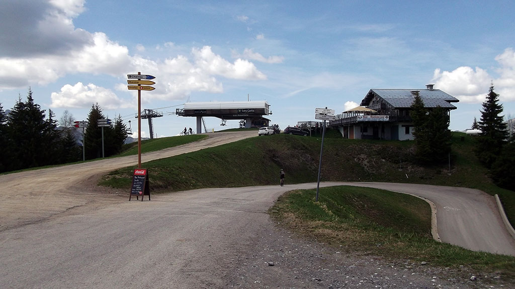
Cycling Route in Taninges, Auvergne-Rhône-Alpes, France

2019-06-01 / Cols des Gets, de la Joux Verte, du Ranfolly et de Joux Plane

2
Open this route in Bikemap Web

Open this route in Bikemap Web

79 km
Distance
2204 m
Ascent
2202 m
Descent
-:-- h
Duration
-- km/h
Avg. Speed
--- m
Max. Elevation

Highlights Along The Route

POI Photo 1: Joris LESUEUR

Point of Interest

Col des Gets - 1163 m

POI Photo 2: Joris LESUEUR

Point of Interest

Col de Joux Plane – 1690 m

POI Photo 3: Joris LESUEUR

Point of Interest

Col du Ranfolly – 1656 m

More highlights are available with Bikemap for iOS and Android.

Customize this cycling route with the Bikemap route planner.

Make it yours!

You can use this route as a template in our cycling route planner so that you don’t have to start from scratch. Customize it based on your needs to plan your perfect cycling tour.