

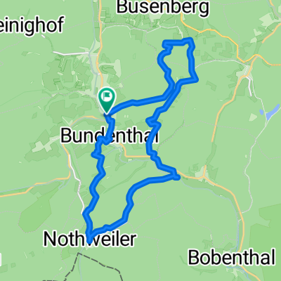
Mountainbiketour 14 Bundenthal (Dahn-Südost)
A cycling route starting in Bundenthal, Rhineland-Palatinate, Germany.
Overview
About this route
Kurze Mountainbiketour an der Grenze zu Frankreich mit der Möglichkeit die höchstgelegene Burg der Pfalz, die Wegelnburg, zu besteigen.
- 3 h 27 min
- Duration
- 26.1 km
- Distance
- 679 m
- Ascent
- 678 m
- Descent
- 7.6 km/h
- Avg. speed
- ---
- Avg. speed
Continue with Bikemap
Use, edit, or download this cycling route
You would like to ride Mountainbiketour 14 Bundenthal (Dahn-Südost) or customize it for your own trip? Here is what you can do with this Bikemap route:
Free features
- Save this route as favorite or in collections
- Copy & plan your own version of this route
- Sync your route with Garmin or Wahoo
Premium features
Free trial for 3 days, or one-time payment. More about Bikemap Premium.
- Navigate this route on iOS & Android
- Export a GPX / KML file of this route
- Create your custom printout (try it for free)
- Download this route for offline navigation
Discover more Premium features.
Get Bikemap PremiumFrom our community
Other popular routes starting in Bundenthal
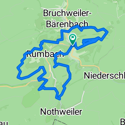
 Rundweg Bundentahl Nothweiler Schönau Rumbach Bundentahl
- Distance
- 24.6 km
- Ascent
- 369 m
- Descent
- 350 m
- Location
- Bundenthal, Rhineland-Palatinate, Germany
 Tag 3 - Bikepark Bundenthal (25km)
- Distance
- 25.4 km
- Ascent
- 544 m
- Descent
- 544 m
- Location
- Bundenthal, Rhineland-Palatinate, Germany
 Rundkurs Bundenthal
- Distance
- 12 km
- Ascent
- 280 m
- Descent
- 270 m
- Location
- Bundenthal, Rhineland-Palatinate, Germany
 Nothweiler - Drachenfels
- Distance
- 19.4 km
- Ascent
- 420 m
- Descent
- 420 m
- Location
- Bundenthal, Rhineland-Palatinate, Germany
 Von Bruchweiler Nach Oberelsbach Mit Dem Handbike
- Distance
- 323.9 km
- Ascent
- 692 m
- Descent
- 522 m
- Location
- Bundenthal, Rhineland-Palatinate, Germany
 Seerosentour
- Distance
- 32.9 km
- Ascent
- 438 m
- Descent
- 437 m
- Location
- Bundenthal, Rhineland-Palatinate, Germany
 Mountainbiketour 14 Bundenthal (Dahn-Südost)
- Distance
- 26.1 km
- Ascent
- 679 m
- Descent
- 678 m
- Location
- Bundenthal, Rhineland-Palatinate, Germany
 Bthal-Erlenbach-Busenberg-Bthal
- Distance
- 17.5 km
- Ascent
- 366 m
- Descent
- 363 m
- Location
- Bundenthal, Rhineland-Palatinate, Germany
Open it in the app