Premium Badge Download on the App Store Get it on Google Play Turn-by-turn Navigation Offline Maps Bike Type Optimized Routing Premium Maps Custom Bike Computer Export Routes Route Previews Fall Detection Premium Support

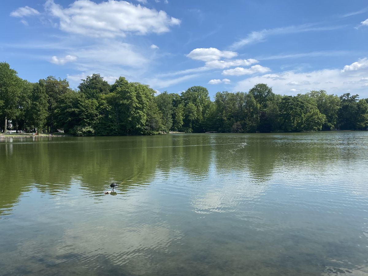
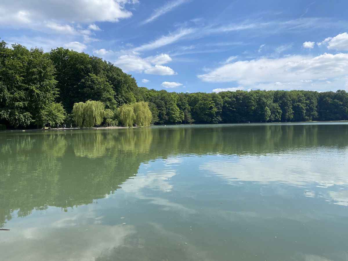
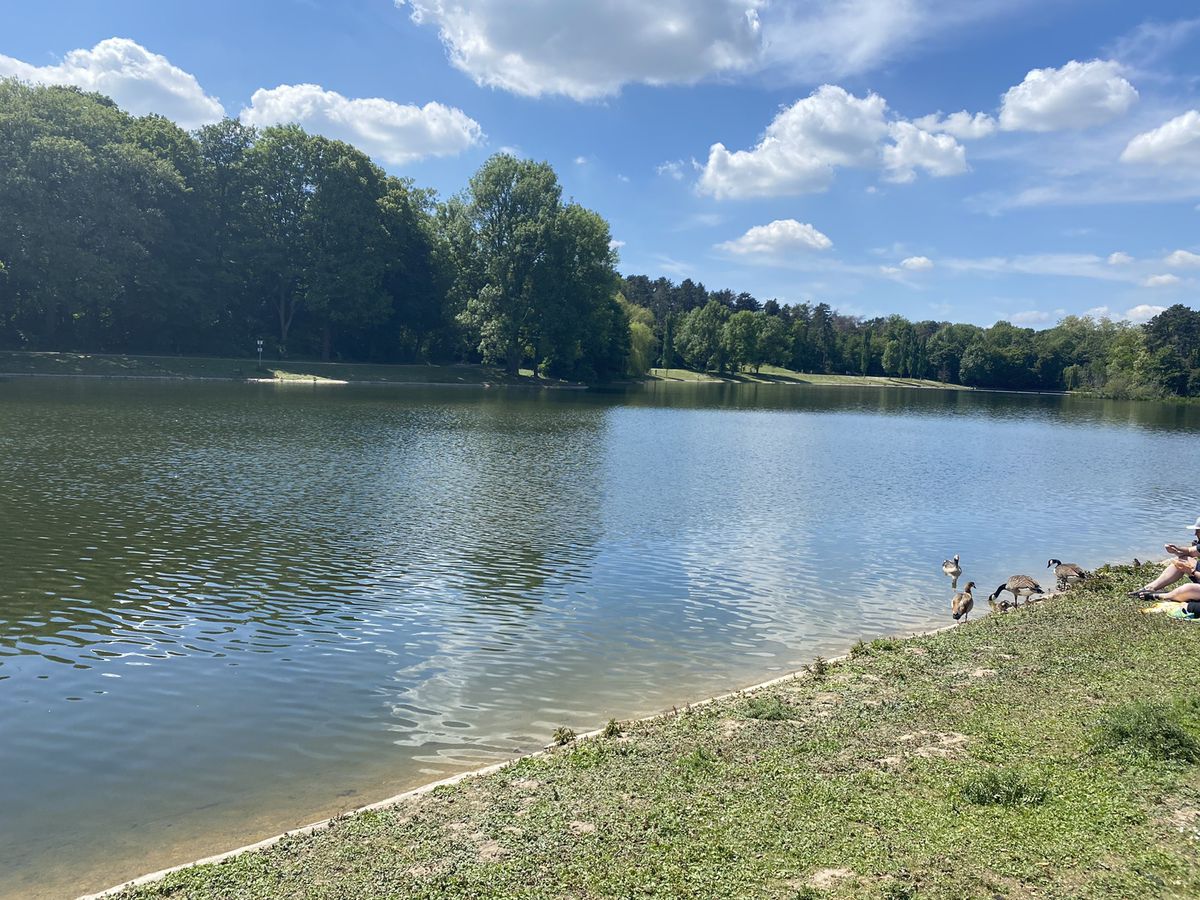
Cycling Route in Cologne, North Rhine-Westphalia, Germany

Route um die Kölner Weiher

74
Open this route in Bikemap Web

Open this route in Bikemap Web

41 km
Distance
119 m
Ascent
119 m
Descent
2:54 h
Duration
11.0 km/h
Avg. Speed
--- m
Max. Elevation

About This Route

Etappen: Aachener Weiher, Volksgarten, Kalscheurer Weiher, Decksteiner Weiher, Adenauer Weiher, Kahnweiher, Rautenstrauch-Kanal, Clarenbachkanal

This cycling route is ideal for: City bike

You will cycle on the following surfaces: Paved Unpaved

Route Photos

Customize this cycling route with the Bikemap route planner.

Make it yours!

You can use this route as a template in our cycling route planner so that you don’t have to start from scratch. Customize it based on your needs to plan your perfect cycling tour.