

70_IVV_200626
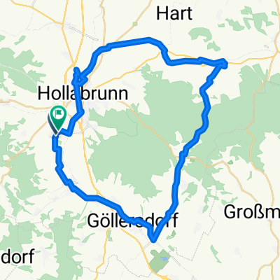
A cycling route starting in Hollabrunn, Lower Austria, Austria.
Overview
About this route
- -:--
- Duration
- 72.6 km
- Distance
- 688 m
- Ascent
- 687 m
- Descent
- ---
- Avg. speed
- ---
- Max. altitude

Route quality
Waytypes & surfaces along the route
Waytypes
Track
37.8 km
(52 %)
Quiet road
24 km
(33 %)
Surfaces
Paved
37.8 km
(52 %)
Unpaved
16 km
(22 %)
Asphalt
28.3 km
(39 %)
Paved (undefined)
9.4 km
(13 %)
Route highlights
Points of interest along the route
Drinking water after 20.6 km
Sandbergwarte
Point of interest after 36.4 km
Weinterrasse
Drinking water after 38 km
Pulkauer Bründl
Point of interest after 65.6 km
Überraschungskontrolle!
Continue with Bikemap
Use, edit, or download this cycling route
You would like to ride 70_IVV_200626 or customize it for your own trip? Here is what you can do with this Bikemap route:
Free features
- Save this route as favorite or in collections
- Copy & plan your own version of this route
- Sync your route with Garmin or Wahoo
Premium features
Free trial for 3 days, or one-time payment. More about Bikemap Premium.
- Navigate this route on iOS & Android
- Export a GPX / KML file of this route
- Create your custom printout (try it for free)
- Download this route for offline navigation
Discover more Premium features.
Get Bikemap PremiumFrom our community
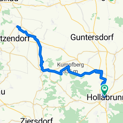
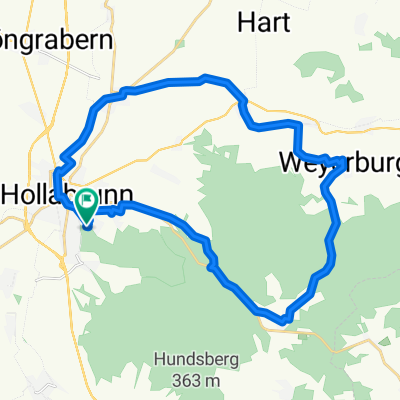
Other popular routes starting in Hollabrunn
 Schloßallee nach Schloßallee
- Distance
- 42.7 km
- Ascent
- 194 m
- Descent
- 196 m
- Location
- Hollabrunn, Lower Austria, Austria
 HOLLABRUNN MB 3
- Distance
- 30.2 km
- Ascent
- 449 m
- Descent
- 358 m
- Location
- Hollabrunn, Lower Austria, Austria
 Hl - Röschitz - Hl
- Distance
- 55.6 km
- Ascent
- 395 m
- Descent
- 395 m
- Location
- Hollabrunn, Lower Austria, Austria
 Hubertusweg, Hollabrunn nach Hubertusweg, Hollabrunn
- Distance
- 27.8 km
- Ascent
- 274 m
- Descent
- 274 m
- Location
- Hollabrunn, Lower Austria, Austria
 Stranzendorf- Großweikersdorf
- Distance
- 48 km
- Ascent
- 335 m
- Descent
- 334 m
- Location
- Hollabrunn, Lower Austria, Austria
 Oberfellabrunn nach Zellerndorf
- Distance
- 20.4 km
- Ascent
- 255 m
- Descent
- 289 m
- Location
- Hollabrunn, Lower Austria, Austria
 Leichte Weinviertelrunde
- Distance
- 170.9 km
- Ascent
- 1,045 m
- Descent
- 1,045 m
- Location
- Hollabrunn, Lower Austria, Austria
 210_IVV_200626
- Distance
- 207.4 km
- Ascent
- 1,139 m
- Descent
- 1,137 m
- Location
- Hollabrunn, Lower Austria, Austria
Open it in the app