
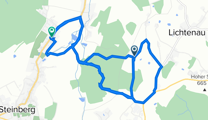
Unnamed Road, Stützengrün to Theatergasse 1, Steinberg
A cycling route starting in Stützengrün, Saxony, Germany.
Overview
About this route
- 1 h 53 min
- Duration
- 11.1 km
- Distance
- 166 m
- Ascent
- 280 m
- Descent
- 5.9 km/h
- Avg. speed
- ---
- Max. altitude

Route photos


Route quality
Waytypes & surfaces along the route
Waytypes
Track
5.1 km
(46 %)
Pedestrian area
1.8 km
(16 %)
Surfaces
Paved
2.4 km
(22 %)
Unpaved
4 km
(36 %)
Gravel
3 km
(27 %)
Asphalt
2.1 km
(19 %)
Continue with Bikemap
Use, edit, or download this cycling route
You would like to ride Unnamed Road, Stützengrün to Theatergasse 1, Steinberg or customize it for your own trip? Here is what you can do with this Bikemap route:
Free features
- Save this route as favorite or in collections
- Copy & plan your own version of this route
- Sync your route with Garmin or Wahoo
Premium features
Free trial for 3 days, or one-time payment. More about Bikemap Premium.
- Navigate this route on iOS & Android
- Export a GPX / KML file of this route
- Create your custom printout (try it for free)
- Download this route for offline navigation
Discover more Premium features.
Get Bikemap PremiumFrom our community
Other popular routes starting in Stützengrün
 1.Etappe 2023 Stützengrün - Wünschendorf
- Distance
- 61.5 km
- Ascent
- 726 m
- Descent
- 1,129 m
- Location
- Stützengrün, Saxony, Germany
 Talstraße nach Marienstraße
- Distance
- 74.6 km
- Ascent
- 920 m
- Descent
- 1,021 m
- Location
- Stützengrün, Saxony, Germany
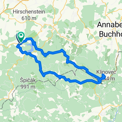
 Crinitzberg - Talsperre Eibenstock und zurück
- Distance
- 40.8 km
- Ascent
- 412 m
- Descent
- 413 m
- Location
- Stützengrün, Saxony, Germany
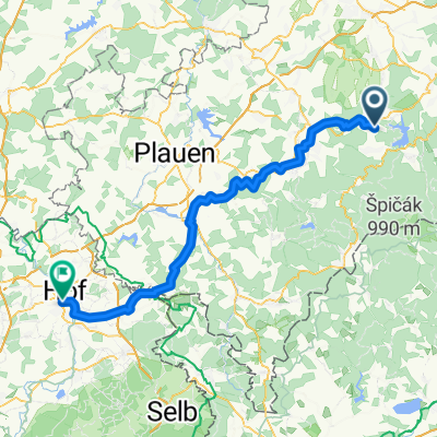
 Fichtelberg von Stützengrün
- Distance
- 99.8 km
- Ascent
- 1,452 m
- Descent
- 1,439 m
- Location
- Stützengrün, Saxony, Germany
 Unnamed Road, Stützengrün to Theatergasse 1, Steinberg
- Distance
- 11.1 km
- Ascent
- 166 m
- Descent
- 280 m
- Location
- Stützengrün, Saxony, Germany
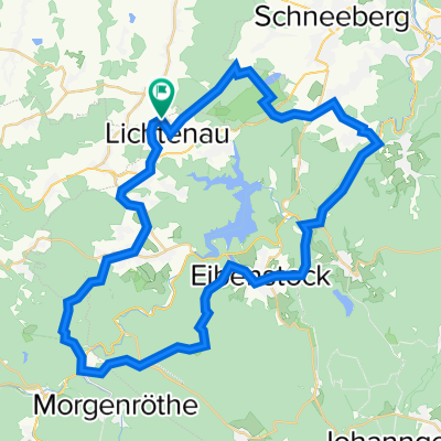
 Steinberg
- Distance
- 17.7 km
- Ascent
- 388 m
- Descent
- 388 m
- Location
- Stützengrün, Saxony, Germany
 Morgenröthe Muldeweg
- Distance
- 50.8 km
- Ascent
- 718 m
- Descent
- 717 m
- Location
- Stützengrün, Saxony, Germany
 Marienweg, Stützengrün nach Alte Poststraße, Stützengrün
- Distance
- 31.1 km
- Ascent
- 330 m
- Descent
- 374 m
- Location
- Stützengrün, Saxony, Germany
Open it in the app