

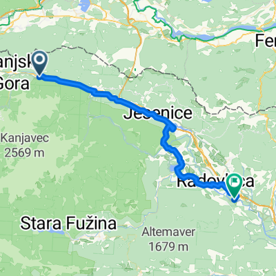
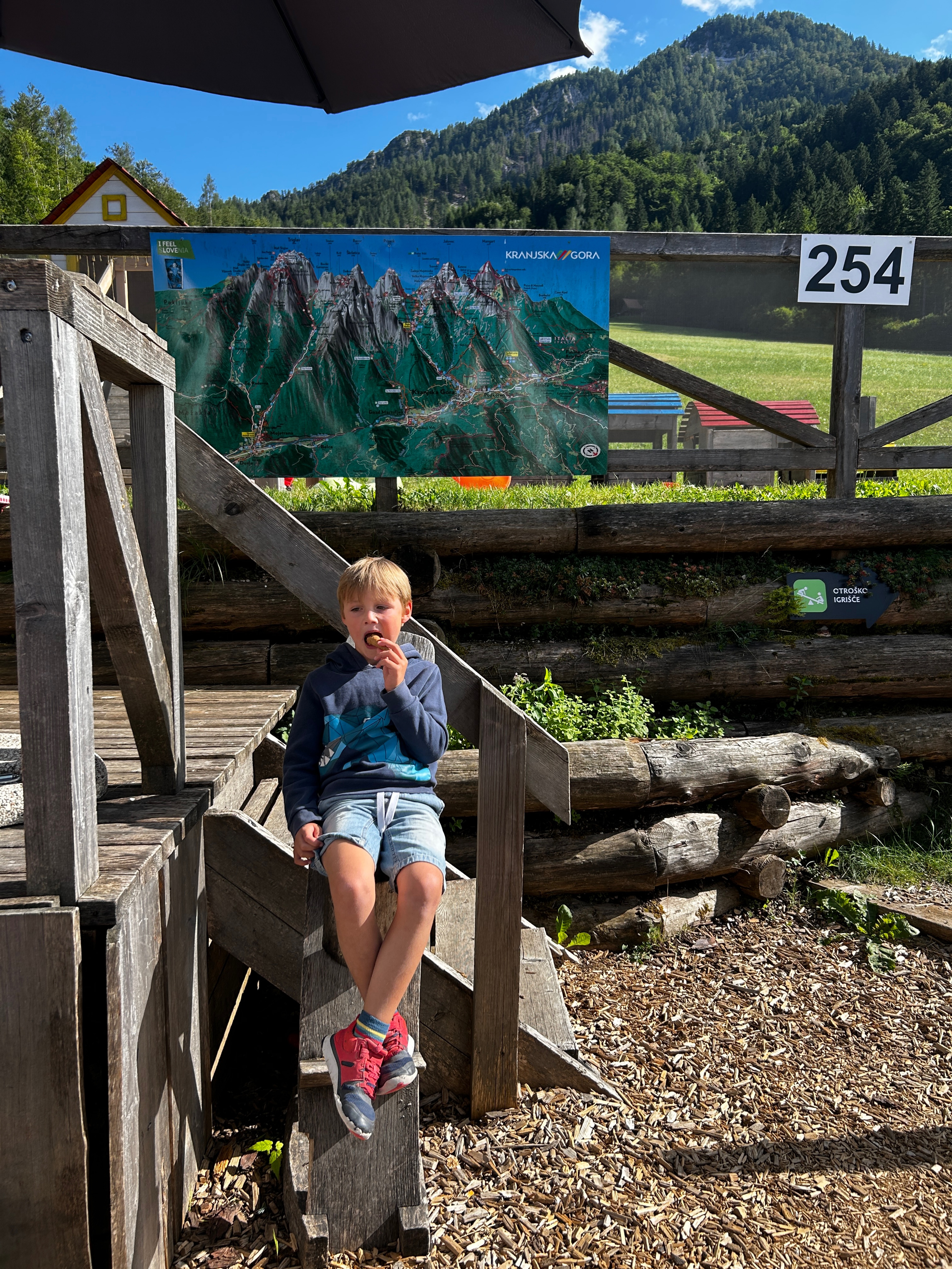
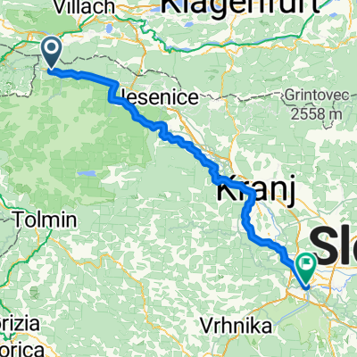
Day 7 | Kranjska Gora to Bled
Un itinéraire vélo au départ de Kranjska Gora, Kranjska Gora, Slovénie.
Vue d'ensemble
À propos du circuit
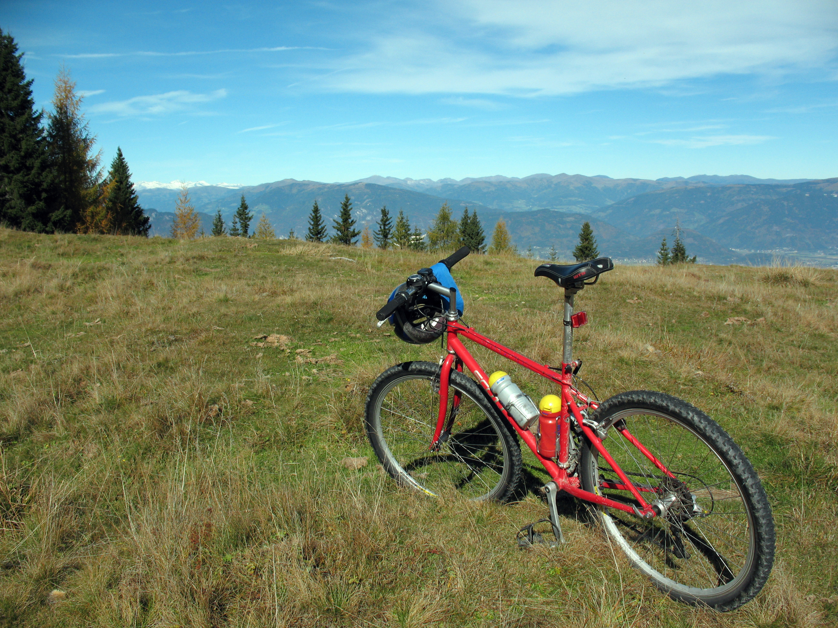
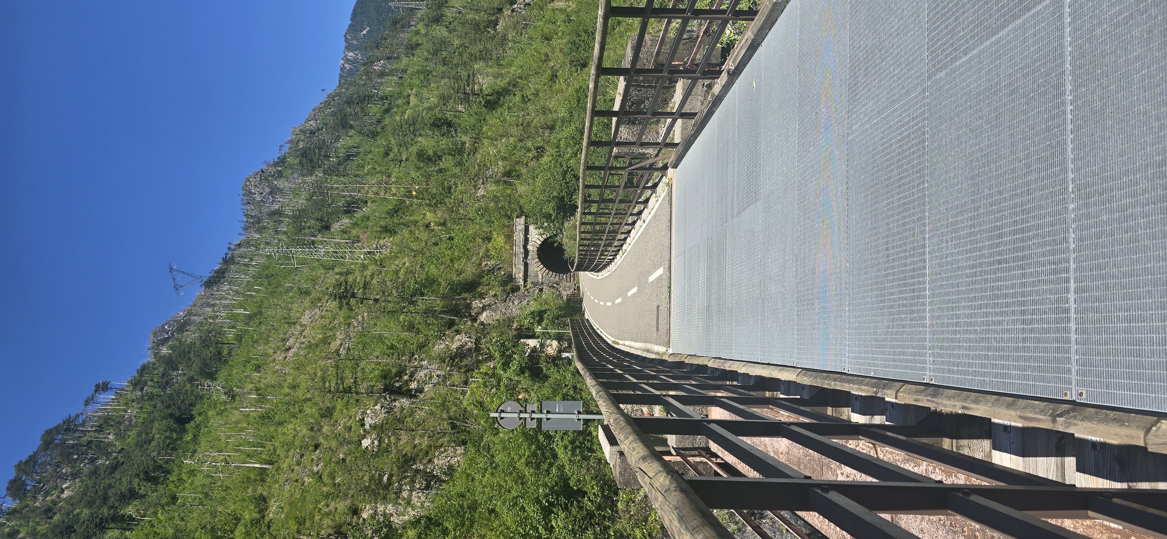
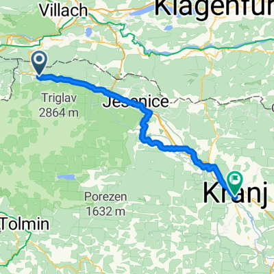
Starting point: village square Kranjska Gora Time planning: half a day Food and water: bring with you; the last possible option to buy is in Mojstrana and then nothing until Bled On a rainy day: 1. Taxi: We will be happy to arrange a taxi for you. Extra charges will be applied accordingly For your final day, you will head back into the heart of the Triglav National Park. The route takes you alongside the Sava Dolinka River as it cuts its way south to join the Sava Bohinjka, where it becomes the Sava River, the longest in Slovenia. From Mojstrana you will head into the Krma Valley. This lush green valley leads through a peaceful forest littered with WW2 monuments and traditional farmhouses, one of which has been adapted into a museum. You can have lunch in the mountain hut at the foot of Triglav, the mightiest mountain in the Julian Alps, and enjoy the breathtaking scenery deep in the heart of this beautiful alpine landscape. From here you will head through the Radovna Valley between the Pokljuka and Mežakla plateaus. As you exit the valley, take a short detour to the stunning 1.6 km Vintgar Gorge, carved 150 m deep into the mountains by the Radovna River. The gorge was discovered by chance by the town mayor in 1891, who then set to work building walkways to open the gorge up to the public. We recommend you try the trout dinner at the entrance to the gorge before heading into Bled.
- -:--
- Durée
- 40 km
- Distance
- 552 m
- Montée
- 882 m
- Descente
- ---
- Vit. moyenne
- 868 m
- Altitude max.
Continuer avec Bikemap
Utilise, modifie ou télécharge cet itinéraire vélo
Tu veux parcourir Day 7 | Kranjska Gora to Bled ou l’adapter à ton propre voyage ? Voici ce que tu peux faire avec cet itinéraire Bikemap :
Fonctionnalités gratuites
- Enregistre cet itinéraire comme favori ou dans une collection
- Copie et planifie ta propre version de cet itinéraire
- Synchronise ton itinéraire avec Garmin ou Wahoo
Fonctionnalités Premium
Essai gratuit de 3 jours, ou paiement unique. En savoir plus sur Bikemap Premium.
- Navigue sur cet itinéraire sur iOS et Android
- Exporter un fichier GPX / KML de cet itinéraire
- Crée ton impression personnalisée (essaie-la gratuitement)
- Télécharge cet itinéraire pour la navigation hors ligne
Découvre plus de fonctionnalités Premium.
Obtiens Bikemap PremiumDe notre communauté
Kranjska Gora : Autres itinéraires populaires qui commencent ici
 kg-lago di fusine-dreilandereck-blekovaplanina-kg
- Distance
- 58,6 km
- Montée
- 3 108 m
- Descente
- 3 113 m
- Emplacement
- Kranjska Gora, Kranjska Gora, Slovénie
 Tarvisio - Jesenice
- Distance
- 46,1 km
- Montée
- 780 m
- Descente
- 1 113 m
- Emplacement
- Kranjska Gora, Kranjska Gora, Slovénie
 ALPE Dzień 5 - Camp Spik, Kranjska Gora - Camp Lago, Interneppo
- Distance
- 99,6 km
- Montée
- 1 386 m
- Descente
- 1 927 m
- Emplacement
- Kranjska Gora, Kranjska Gora, Slovénie
 Rateče, Rateče Planica to Gozd Martuljek, Gozd Martuljek
- Distance
- 19,2 km
- Montée
- 58 m
- Descente
- 419 m
- Emplacement
- Kranjska Gora, Kranjska Gora, Slovénie
 Borovška cesta - Via Vittorio Veneto
- Distance
- 122 km
- Montée
- 418 m
- Descente
- 1 158 m
- Emplacement
- Kranjska Gora, Kranjska Gora, Slovénie
 Giorno 2
- Distance
- 103,4 km
- Montée
- 1 621 m
- Descente
- 2 174 m
- Emplacement
- Kranjska Gora, Kranjska Gora, Slovénie
 Giorno 2
- Distance
- 103,8 km
- Montée
- 1 474 m
- Descente
- 2 027 m
- Emplacement
- Kranjska Gora, Kranjska Gora, Slovénie
 Kranjska Gora - Sv. Duh
- Distance
- 69,8 km
- Montée
- 1 177 m
- Descente
- 1 604 m
- Emplacement
- Kranjska Gora, Kranjska Gora, Slovénie
Ouvre-la dans l’app