

Round Trip 2020
Un itinéraire vélo au départ de Toronto, Ontario, Canada.
Vue d'ensemble
À propos du circuit
The following describes a planned cycling trip longer than the Tour De France. This cycling trip essentially encompasses the northeastern seaboard of Canada and the United States.
To name the most important of involved stops, from beginning to end;
Toronto[C-ON], Niagara Falls [C-ON], Buffalo N.Y., Washington D.C., Baltimore [MD], Philidelphia PA, New York City, New Haven [CT], Boston [MA], Portland [ME], Bangor [ME], Saint John [C-NB], Moncton [C-NB], Halifax [C-NS], Moncton [C-NB], Fredericton [C-NB], Edmundston [C-NB], Quebec City [C-QC], Montreal [C-QC], Ottawa [C-ON], Kingston [C-ON], Belleville [C-ON], Cobourg [C-ON], Toronto [C-ON]. (Note: Belleville and Cobourg because of family importance in both places). The trip will both begin and end at the tallest building in the western hemisphere, the CN Tower in Toronto, Canada, and contains the possibility for a mountain climb should weather provide the luxury. This trip totals out to an approximate 10 days 3 hours biking and assuming appropriate lengths of sleep and sightseeing in each of the destinations, would make the entire trip calculable to approximately 30-35 days with 12 hours biking per day.
[Timing assumes 20km/h biking which has been proven sustainable with synthetic training tests at a local gym, more realistic distance tests are to be conducted during summer 2016 through 2019 to prepare].
- -:--
- Durée
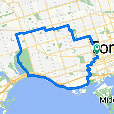
- 4 859 km
- Distance
- 1 896 m
- Montée
- 1 897 m
- Descente
- ---
- Vit. moyenne
- ---
- Altitude max.

Continuer avec Bikemap
Utilise, modifie ou télécharge cet itinéraire vélo
Tu veux parcourir Round Trip 2020 ou l’adapter à ton propre voyage ? Voici ce que tu peux faire avec cet itinéraire Bikemap :
Fonctionnalités gratuites
- Enregistre cet itinéraire comme favori ou dans une collection
- Copie et planifie ta propre version de cet itinéraire
- Divise-le en étapes pour créer un tour sur plusieurs jours
- Synchronise ton itinéraire avec Garmin ou Wahoo
Fonctionnalités Premium
Essai gratuit de 3 jours, ou paiement unique. En savoir plus sur Bikemap Premium.
- Navigue sur cet itinéraire sur iOS et Android
- Exporter un fichier GPX / KML de cet itinéraire
- Crée ton impression personnalisée (essaie-la gratuitement)
- Télécharge cet itinéraire pour la navigation hors ligne
Découvre plus de fonctionnalités Premium.
Obtiens Bikemap PremiumDe notre communauté
Toronto : Autres itinéraires populaires qui commencent ici
 2020-05-20 Morning round DT Toronto
- Distance
- 34,9 km
- Montée
- 168 m
- Descente
- 165 m
- Emplacement
- Toronto, Ontario, Canada
 Cedarvale Park
- Distance
- 5,9 km
- Montée
- 39 m
- Descente
- 39 m
- Emplacement
- Toronto, Ontario, Canada
 -Short Steep climbs & fast descents in the Beach
- Distance
- 5,2 km
- Montée
- 98 m
- Descente
- 108 m
- Emplacement
- Toronto, Ontario, Canada
 - Short steep climbs & fast descents in the Beach
- Distance
- 5,4 km
- Montée
- 107 m
- Descente
- 110 m
- Emplacement
- Toronto, Ontario, Canada
 East York to Indian Line campground
- Distance
- 47,4 km
- Montée
- 242 m
- Descente
- 143 m
- Emplacement
- Toronto, Ontario, Canada
 1 Waterfront Trail, Toronto to 2075 Queen St E, Toronto
- Distance
- 4,3 km
- Montée
- 3 m
- Descente
- 3 m
- Emplacement
- Toronto, Ontario, Canada
 Thicc bike bois
- Distance
- 61,3 km
- Montée
- 173 m
- Descente
- 170 m
- Emplacement
- Toronto, Ontario, Canada
 High Park
- Distance
- 18,4 km
- Montée
- 63 m
- Descente
- 63 m
- Emplacement
- Toronto, Ontario, Canada
Ouvre-la dans l’app