
Cammino dei Briganti Gravel
Una raccolta di 5 percorsi in bici.A rugged gravel/MTB sampler of the historic Brigands’ Path in the central Apennines. Expect a wild mix of farm tracks, singletrack, and a few quiet backroads linking tiny hill villages on the Abruzzo–Lazio border.
This collection clocks roughly 54 km with about 2,240 m of climbing, so gears matter. Surfaces are mostly unpaved, with minimal asphalt. It’s remote in spots and swings through beech and chestnut woods, open ridges, and old stone hamlets—classic Apennine scenery.
Best on a gravel bike with 40 mm+ tires or a hardtail MTB. Pack extra water and snacks; resupplies are patchy between villages. Phone signal can be hit-or-miss. Start anywhere along the loop—Sante Marie and Tagliacozzo are common gateways.
Spring and autumn are prime; summers get hot, winters can mean snow and ice. Check local advisories, respect closures, and be mindful around livestock and in villages.
If you’re into quiet mountains, big views, and proper mixed-terrain riding, this one delivers.
- 5
- Percorsi
- -:--
- Durata
- 54 km
- Distanza
- ---
- Velocità media
- 2.243 m
- Salita
- 2.225 m
- Discesa

Percorso ciclabile a Sante Marie, Abruzzo, Italia
- 10,7 km
- Distanza
- 636 m
- Salita
- 411 m
- Discesa

Percorso ciclabile a Scurcola Marsicana, Abruzzo, Italia
- 16,8 km
- Distanza
- 705 m
- Salita
- 696 m
- Discesa

Percorso ciclabile a Magliano de' Marsi, Abruzzo, Italia
- 8,9 km
- Distanza
- 277 m
- Salita
- 304 m
- Discesa

Percorso ciclabile a Corvaro, Lazio, Italia
- 7,9 km
- Distanza
- 413 m
- Salita
- 380 m
- Discesa
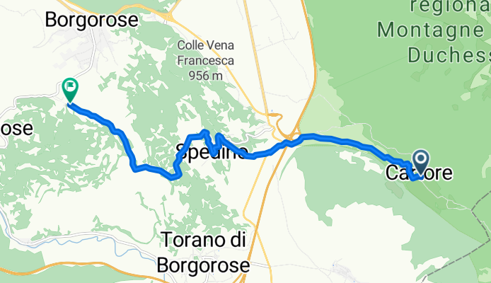
Percorso ciclabile a Borgorose, Lazio, Italia
- 9,6 km
- Distanza
- 212 m
- Salita
- 434 m
- Discesa