


Colac - Warrnambool
- 231,2 km
- 2.117 m
- 2.132 m
- Belgrave Heights, Victoria, Australia

Scopri una mappa con 47 percorsi e sentieri ciclabili vicino a Belgrave Heights, creati dalla nostra community.
Ritratto della regione
Trova il percorso in bici giusto per te a Belgrave Heights, dove abbiamo 47 percorsi ciclabili da esplorare. La maggior parte delle persone va in bici qui nel mese di Agosto.
2.013 km
Distanza registrata
47
Percorsi ciclabili
1376
Popolazione
Dalla nostra comunità
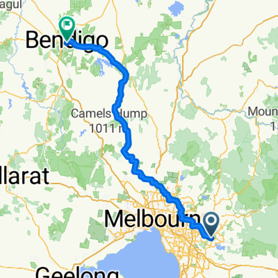
Percorso ciclabile a Belgrave Heights, Victoria, Australia
Percorso ciclabile a Belgrave Heights, Victoria, Australia
Percorso ciclabile a Belgrave Heights, Victoria, Australia
Percorso ciclabile a Belgrave Heights, Victoria, Australia


