Ride Day 37—19 Oct 2005—19220 St-Julien-aux-Bois to 24200 Sarlat-La-Canéda
- 114,8 km
- 633 m
- 1.067 m
- Saint-Privat, Aquitania-Limosino-Poitou-Charentes, Francia

Scopri una mappa con 31 percorsi e sentieri ciclabili vicino a Saint-Privat, creati dalla nostra community.
Ritratto della regione
Trova il percorso in bici giusto per te a Saint-Privat, dove abbiamo 31 percorsi ciclabili da esplorare.
1.196 km
Distanza registrata
31
Percorsi ciclabili
1119
Popolazione
Community
Dalla nostra comunità
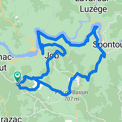
Percorso ciclabile a Saint-Privat, Aquitania-Limosino-Poitou-Charentes, Francia
Percorso ciclabile a Saint-Privat, Aquitania-Limosino-Poitou-Charentes, Francia
Percorso ciclabile a Saint-Privat, Aquitania-Limosino-Poitou-Charentes, Francia
Percorso ciclabile a Saint-Privat, Aquitania-Limosino-Poitou-Charentes, Francia