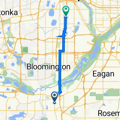
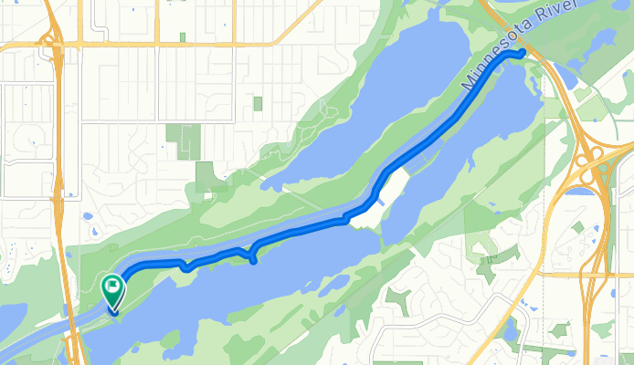
Bloomington to Bluff Trail, Bloomington
- 13,3 km
- 13 m
- 9 m
- Burnsville, Minnesota, Stati Uniti

Scopri una mappa con 174 percorsi e sentieri ciclabili vicino a Burnsville, creati dalla nostra community.
Ritratto della regione
Trova il percorso in bici giusto per te a Burnsville, dove abbiamo 174 percorsi ciclabili da esplorare. La maggior parte delle persone va in bici qui nei mesi di Giugno e Agosto.
3.765 km
Distanza registrata
174
Percorsi ciclabili
60.306
Popolazione
Community
Dalla nostra comunità


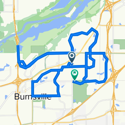
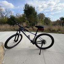
Percorso ciclabile a Burnsville, Minnesota, Stati Uniti


Percorso ciclabile a Burnsville, Minnesota, Stati Uniti

Percorso ciclabile a Burnsville, Minnesota, Stati Uniti

Percorso ciclabile a Burnsville, Minnesota, Stati Uniti
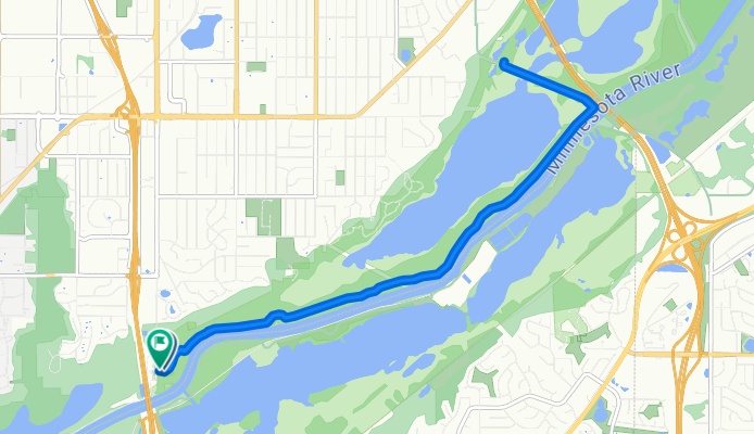
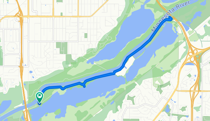
Gita in bici di un giorno da
Gita in bici di un giorno da