
San Lorenzo in bici
Scopri una mappa con 54 percorsi e sentieri ciclabili vicino a San Lorenzo, creati dalla nostra community.
Ritratto della regione
Scopri San Lorenzo
Trova il percorso in bici giusto per te a San Lorenzo, dove abbiamo 54 percorsi ciclabili da esplorare.
1.297 km
Distanza registrata
54
Percorsi ciclabili
23.452
Popolazione
Community
Utenti più attivi a San Lorenzo


Dalla nostra comunità
I migliori percorsi in bici a San Lorenzo e dintorni

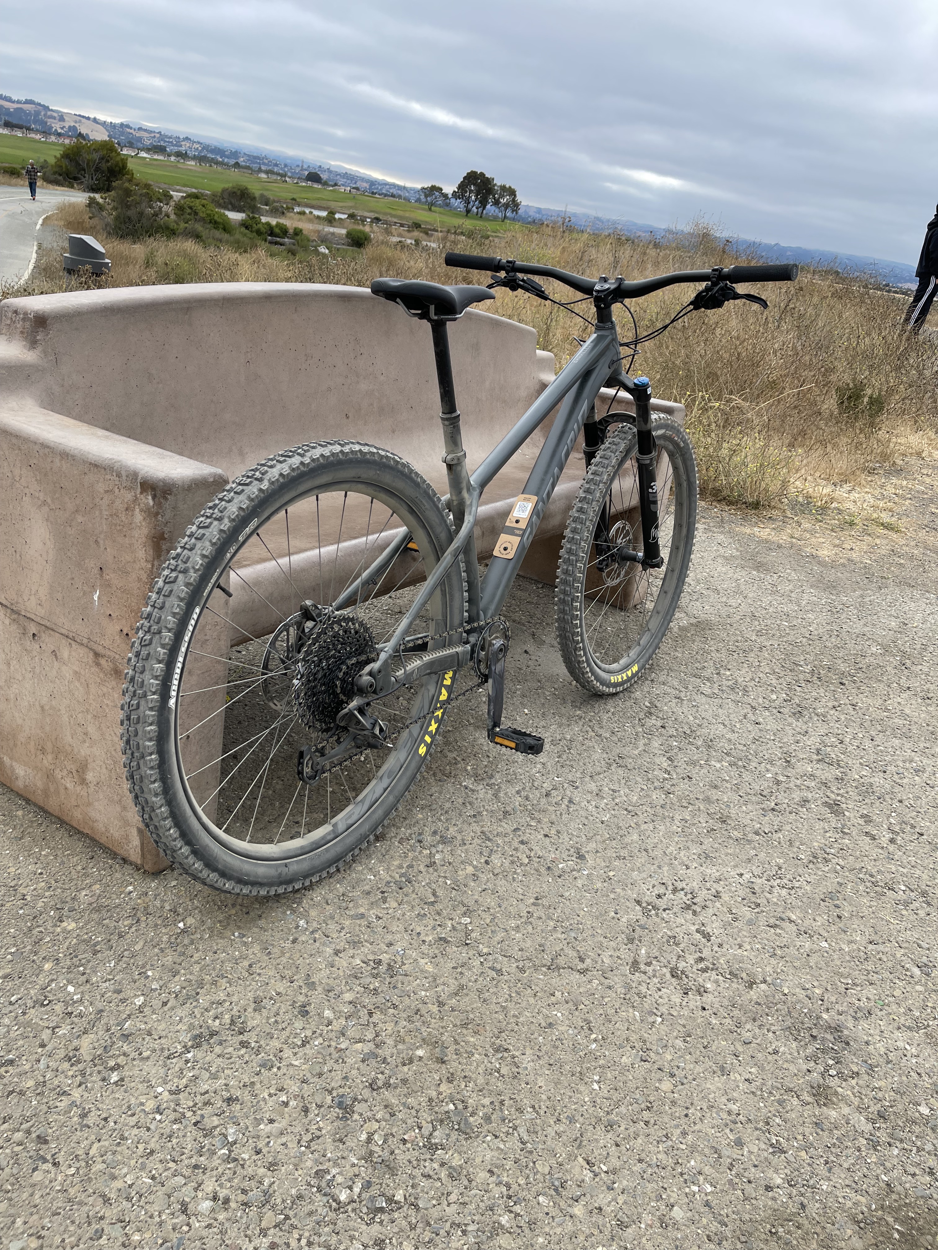
Hwy 92 to Coyote Hills/Alameda Creek
Percorso ciclabile a San Lorenzo, California, United States of America
Think I can through via marsh trails, but need to do recon...
- 13,5 km
- Distanza
- 0 m
- Salita
- 0 m
- Discesa

Cull Canyon, from San Leandro
Percorso ciclabile a San Lorenzo, California, United States of America
Rather than a simple "Out & Back" this route adds a little variation to the trip by cruising through San Lorenzo, Cherryland, Castro Valley and Ashland. Cull Canyon itself is a scenic ride with gradual climbing and very little traffic if any as it is a dead end road. The only cars are usually local residents and they are accustomed to us bikers being there.
- 47,7 km
- Distanza
- 546 m
- Salita
- 546 m
- Discesa
W Winton Ave, Hayward a Amador St, Hayward
Percorso ciclabile a San Lorenzo, California, United States of America
- 26,2 km
- Distanza
- 79 m
- Salita
- 67 m
- Discesa

San Lorenzo to Alameda - Crown Beach
Percorso ciclabile a San Lorenzo, California, United States of America
- 44,3 km
- Distanza
- 3 m
- Salita
- 12 m
- Discesa
Scopri più percorsi
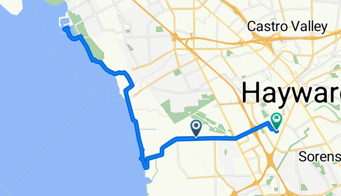
 1000–1098 Via Manzanas, San Lorenzo to 3601 Dimond Ave, Oakland
- Distanza
- 239,3 km
- Salita
- 1.001 m
- Discesa
- 954 m
- Posizione
- San Lorenzo, California, United States of America
 Bible College
- Distanza
- 22 km
- Salita
- 50 m
- Discesa
- 40 m
- Posizione
- San Lorenzo, California, United States of America
 Recovered Route
- Distanza
- 16,1 km
- Salita
- 6 m
- Discesa
- 3 m
- Posizione
- San Lorenzo, California, United States of America
 Route from Vía Lucas 1435, San Lorenzo
- Distanza
- 50,7 km
- Salita
- 3 m
- Discesa
- 3 m
- Posizione
- San Lorenzo, California, United States of America
 16913 Meekland Ave, Hayward to 16913 Meekland Ave, Hayward
- Distanza
- 0,5 km
- Salita
- 0 m
- Discesa
- 0 m
- Posizione
- San Lorenzo, California, United States of America
 Marina loop
- Distanza
- 11,7 km
- Salita
- 24 m
- Discesa
- 24 m
- Posizione
- San Lorenzo, California, United States of America
 Route from 3601–3609 Depot Rd, Hayward
- Distanza
- 22 km
- Salita
- 0 m
- Discesa
- 3 m
- Posizione
- San Lorenzo, California, United States of America
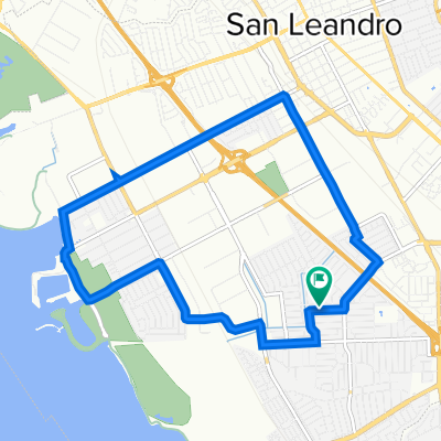
 Cumberland Avenue 1343, San Leandro to Cumberland Avenue 1343, San Leandro
- Distanza
- 18,5 km
- Salita
- 4 m
- Discesa
- 6 m
- Posizione
- San Lorenzo, California, United States of America