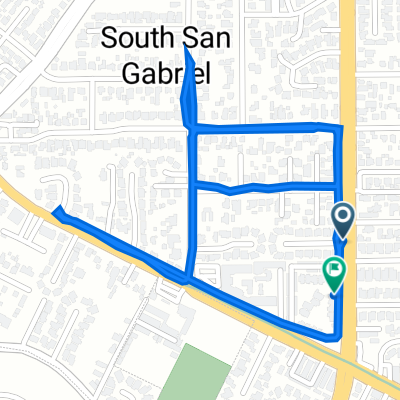
Upper Rio Hondo, Rosemead to 1701 Santa Anita Ave, South El Monte
- 10,2 km
- 89 m
- 82 m
- South San Gabriel, California, Stati Uniti

Scopri una mappa con 17 percorsi e sentieri ciclabili vicino a South San Gabriel, creati dalla nostra community.
Ritratto della regione
Trova il percorso in bici giusto per te a South San Gabriel, dove abbiamo 17 percorsi ciclabili da esplorare.
321 km
Distanza registrata
17
Percorsi ciclabili
8070
Popolazione
Community
Dalla nostra comunità
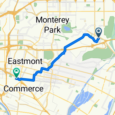
Percorso ciclabile a South San Gabriel, California, Stati Uniti
Percorso ciclabile a South San Gabriel, California, Stati Uniti
Percorso ciclabile a South San Gabriel, California, Stati Uniti
Percorso ciclabile a South San Gabriel, California, Stati Uniti