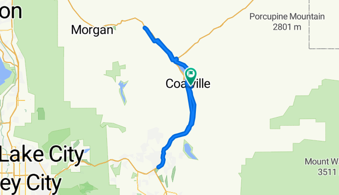
Com’è andare in bici a Coalville.

Coalville in bici

Scopri una mappa con 9 percorsi e sentieri ciclabili vicino a Coalville, creati dalla nostra community.

Ritratto della regione

Scopri Coalville

Trova il percorso in bici giusto per te a Coalville, dove abbiamo 9 percorsi ciclabili da esplorare.

652 km

Distanza registrata

9

Percorsi ciclabili

1363

Popolazione

Community

Utenti più attivi a Coalville

Dalla nostra comunità
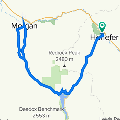
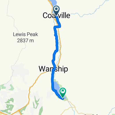
I migliori percorsi in bici a Coalville e dintorni

CROYDON DEATH LOOP
Bici da stradaMTBBicicletta da città
Martin Neunzert
0

CROYDON DEATH LOOP

Percorso ciclabile a Coalville, Utah, United States of America

A short but moderate cycling loop with interesting diversity. About 11 miles with an elevation gain of about 650 feet. WARNING: ABOUT 1.5 MILES OF THIS LOOP IS ON I-15. IT IS UP TO YOU TO RESEARCH A GOOD EXPLANATION (FOR ANY UTAH STATE TROOPER) AS TO WHY THIS IS LEGAL. It is recommended this loop be done clockwise so the freeway section is downhill. There are no amenities on the route, even in Henefer. There might be a few spots where you can find ditch water if needed, but nothing safe to drink. Your ride can be extended by adding a out-and-back spur from Croydon toward Lost Creek Reservoir.
17,3 km
Distanza
---
Salita
---
Discesa
Wanship-Kamas Valley
Bici da stradaAsfaltato
0

Wanship-Kamas Valley

Percorso ciclabile a Coalville, Utah, United States of America

park at Wanship cemetery.  Plenty of room. Port-a-johns shortly after you start the ride on side of lake. Lots of small, untravelled back roads.  Not much climbing.  There is a short section of dirt that is good. Food stop in Kamas on SR 32 - cafe, coffee, sandwiches.
72,6 km
Distanza
347 m
Salita
362 m
Discesa
Browns Cyn - Echo Res.
Bici da stradaAsfaltato
Marty Jemison
0

Browns Cyn - Echo Res.

Percorso ciclabile a Coalville, Utah, United States of America

88,3 km
Distanza
788 m
Salita
709 m
Discesa
0

Coalville Cycling

Percorso ciclabile a Coalville, Utah, United States of America

68,6 km
Distanza
1.395 m
Salita
1.127 m
Discesa

Scopri più percorsi