
Fort Washakie in bici
Scopri una mappa ciclistica di Fort Washakie, con piste ciclabili, sentieri e punti di interesse evidenziati.
Sii un pioniere
Ispira altri ciclisti con il tuo percorso a Fort Washakie
Bikemap è una community ciclistica globale con milioni di percorsi creati da ciclisti come te. Finora c’è solo un percorso a Fort Washakie, quindi traccia le tue uscite preferite sulla mappa per aiutare gli altri a scoprire i migliori percorsi da seguire.
Dalla nostra comunità
I migliori percorsi in bici a Fort Washakie e dintorni
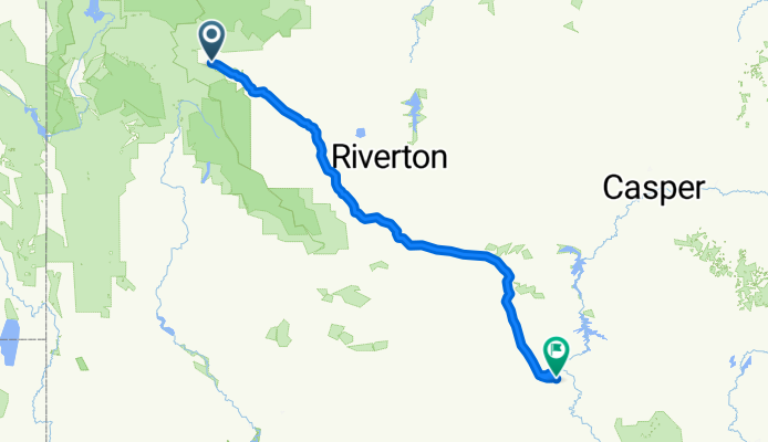
TransAmerica Trail, Wyoming: Fort Washakie to Rawlins
Percorso ciclabile a Fort Washakie, State of Wyoming, United States of America
Roll out from Fort Washakie on the Wind River Reservation and aim south for Rawlins, a historic railroad town on the edge of the Red Desert. This Wyoming leg of the TransAmerica covers about 360 km with roughly 2,300 m of climbing, topping out near 2,200 m. Expect long, windy stretches, big-sky views, and services that can be far apart. Mostly paved with some highway sections and bits of track. Plan water stops, check weather, and enjoy the wide-open miles.
- 359,7 km
- Distanza
- 2.330 m
- Salita
- 2.528 m
- Discesa