![[Herald Sun Tour 2009 - Etapa 00] Ballarat](https://media.bikemap.net/routes/327032/staticmaps/in_02180b6f-925d-4083-b153-b186a50069ea_694x400_bikemap-2021-3D-static.png)


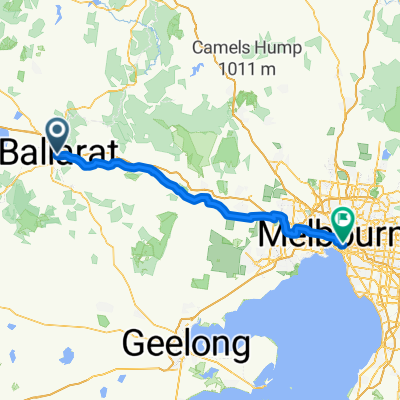
Ballarat to Melbourne
- 124,8 km
- 268 m
- 683 m
- Ballarat Central, Victoria, Australia

Scopri una mappa con 23 percorsi e sentieri ciclabili vicino a Ballarat Central, creati dalla nostra community.
Ritratto della regione
Trova il percorso in bici giusto per te a Ballarat Central, dove abbiamo 23 percorsi ciclabili da esplorare.
1.697 km
Distanza registrata
23
Percorsi ciclabili
5645
Popolazione
Dalla nostra comunità
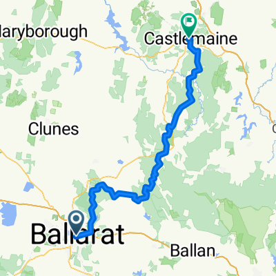
Percorso ciclabile a Ballarat Central, Victoria, Australia
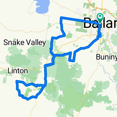
Percorso ciclabile a Ballarat Central, Victoria, Australia
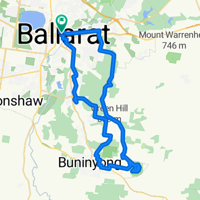
Percorso ciclabile a Ballarat Central, Victoria, Australia
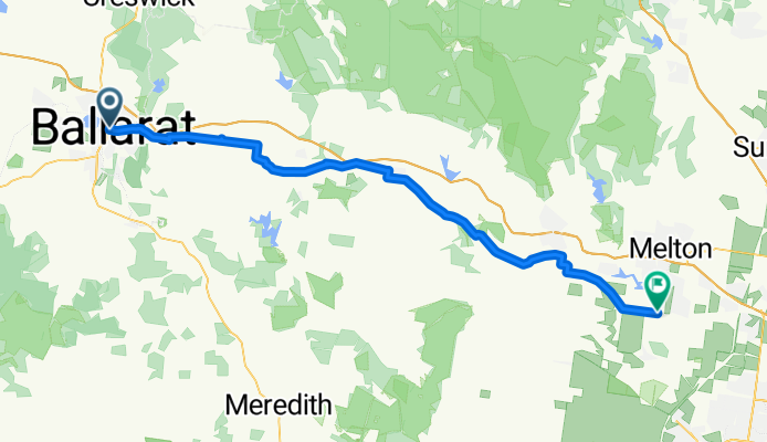
Percorso ciclabile a Ballarat Central, Victoria, Australia