


Őrség második nap
- 34,7 km
- 212 m
- 230 m
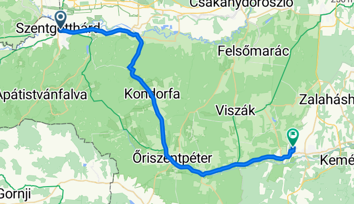
- Szentgotthárd, provincia di Vas, Ungheria

Personalizza il tuo percorso partendo dal nostro modello o scopri come la nostra community preferisce pedalare da Szentgotthárd a Zalalövő.
Modello di percorso

This cycling route takes you from Szentgotthárd, right at the western edge of Hungary, to the charming small town of Zalalövő. You’ll cover just over 45 km, winding your way through peaceful tracks, quiet country roads, and a good mix of both paved and unpaved stretches—so be ready for a bit of everything under your wheels!
Szentgotthárd, known for its spa and the beautiful abbey, is a gateway to the scenic Őrség region. The ride starts off with rolling hills and a few moderate climbs (expect about 440 meters of ascent overall), but nothing too daunting if you’re used to undulating countryside.
Much of the journey leads you through tranquil woodland tracks and agricultural lands—nature lovers will appreciate the serenity and green vistas. Only a small percentage of the route is on busy roads, so you’ll mostly experience quiet corners of western Hungary.
Your ride wraps up in Zalalövő, situated by the pretty Borostyán Lake—perfect for a rest or a refreshing dip. All in all, it’s an enjoyable, varied route, ideal for tourers looking to escape the crowds and soak up rural Hungarian charm.
Community
Dalla nostra comunità
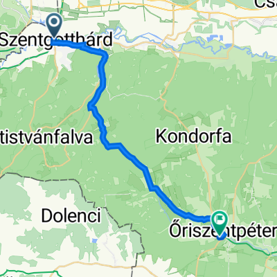
Percorso ciclabile a Szentgotthárd, provincia di Vas, Ungheria
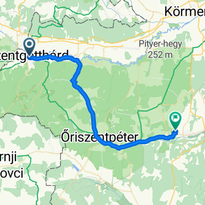
Percorso ciclabile a Szentgotthárd, provincia di Vas, Ungheria
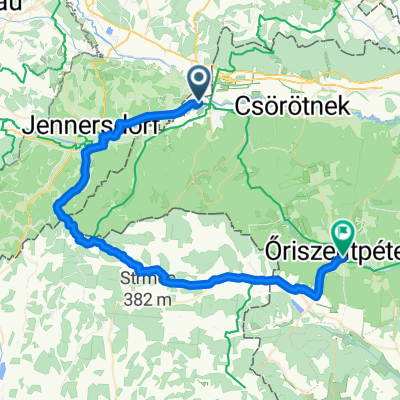
Percorso ciclabile a Szentgotthárd, provincia di Vas, Ungheria
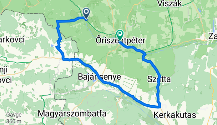
Percorso ciclabile a Szentgotthárd, provincia di Vas, Ungheria
Percorso ciclabile a Szentgotthárd, provincia di Vas, Ungheria
Percorso ciclabile a Szentgotthárd, provincia di Vas, Ungheria
Percorso ciclabile a Szentgotthárd, provincia di Vas, Ungheria
Percorso ciclabile a Szentgotthárd, provincia di Vas, Ungheria
Percorso ciclabile a Szentgotthárd, provincia di Vas, Ungheria
Percorso ciclabile a Szentgotthárd, provincia di Vas, Ungheria
Percorso ciclabile a Szentgotthárd, provincia di Vas, Ungheria
Percorso ciclabile a Szentgotthárd, provincia di Vas, Ungheria
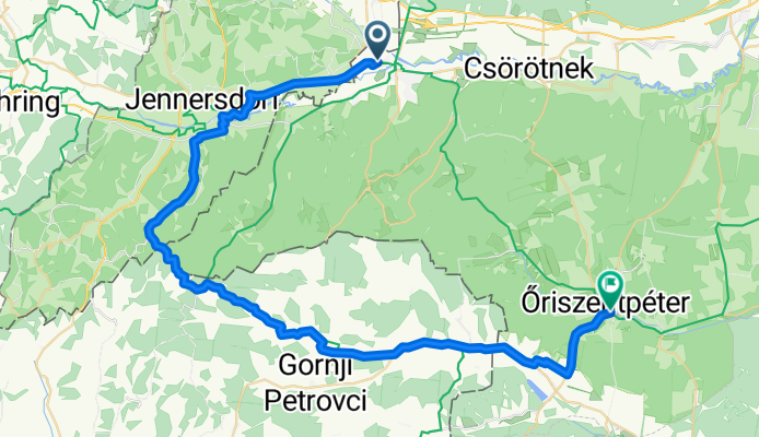
Gita in bici di un giorno da
Gita in bici di un giorno da