

Qualicum Beach Circle Route
Un percorso ciclabile con partenza da Parksville, Columbia Britannica, Canada.
Panoramica
Su questo percorso
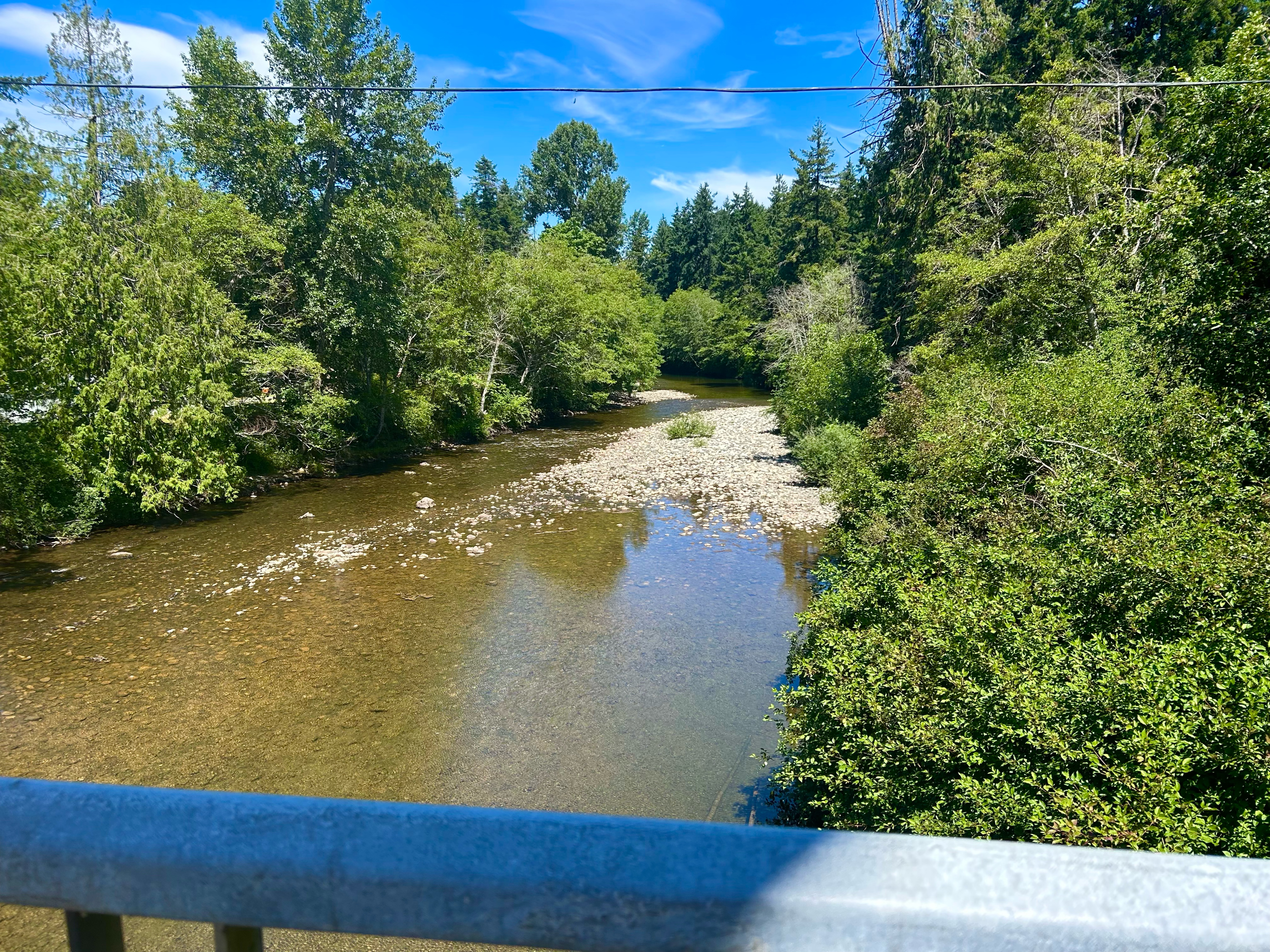
This is my favourite ride to take around Qualicum Beach. It shows you a bit of all of the beauty of the area.
Starting off in tow on 1st Avenue, you head down to Arbutus st, and take a left onto Hoy Lake Rd, just after the train tracks. You follow Hoy Lake onto Canyon Crescent rd, and then swing a hard right onto Garrett rd. At the bottom of a very steep hill, you hang a left on the highway until you get to Laburnum rd.
The ride up Laburnum is one of the most serene but gruelling rides in the area. There's both the roadway and a separate walking/riding path, depending on your comfort with road riding. Laburnum road eventually turns onto Rupert rd, with a very interesting riding trail at the corner of the turn on Laburnum.
Rupert takes you along until Jones st, bringing you right back to where you started.
- -:--
- Durata
- 8,6 km
- Distanza
- 125 m
- Salita
- 125 m
- Discesa
- ---
- Velocità media
- ---
- Altitudine max.

Qualità del percorso
Tipi di percorsi e superfici lungo il percorso
Tipi di percorso
Strada tranquilla
4,1 km
(48 %)
Strada trafficata
3,1 km
(37 %)
Superfici
Asfaltato
1,1 km
(13 %)
Non asfaltato
0 km
(<1 %)
Asfalto
1,1 km
(13 %)
Non asfaltato (non definito)
0 km
(<1 %)
Non definito
7,4 km
(87 %)
Continua con Bikemap
Usa, modifica o scarica questo percorso ciclabile
Vuoi percorrere Qualicum Beach Circle Route o personalizzarlo per il tuo viaggio? Ecco cosa puoi fare con questo percorso su Bikemap:
Funzionalità gratuite
- Salva questo percorso tra i preferiti o in una raccolta
- Copia e pianifica la tua versione di questo percorso
- Sincronizza il tuo percorso con Garmin o Wahoo
Funzionalità Premium
Prova gratuita di 3 giorni o pagamento una tantum. Scopri di più su Bikemap Premium.
- Naviga questo percorso su iOS e Android
- Esporta un file GPX / KML di questo percorso
- Crea la tua stampa personalizzata (provala gratis)
- Scarica questo percorso per la navigazione offline
Scopri altre funzionalità Premium.
Ottieni Bikemap PremiumDalla nostra community
Parksville: Altri percorsi popolari che iniziano qui
 Corfield Street South 222, Parksville to Corfield Street South 222, Parksville
- Distanza
- 4,9 km
- Salita
- 17 m
- Discesa
- 0 m
- Posizione
- Parksville, Columbia Britannica, Canada
 August 6, 2019
- Distanza
- 20,4 km
- Salita
- 194 m
- Discesa
- 196 m
- Posizione
- Parksville, Columbia Britannica, Canada
 Johnstone.Errington.Morningstar.FC
- Distanza
- 35 km
- Salita
- 264 m
- Discesa
- 262 m
- Posizione
- Parksville, Columbia Britannica, Canada
 Nanaimo to Qualicum Beach
- Distanza
- 52,1 km
- Salita
- 336 m
- Discesa
- 372 m
- Posizione
- Parksville, Columbia Britannica, Canada
 Parksville to Rathtrevor Beach Trail to Parksville
- Distanza
- 16,4 km
- Salita
- 35 m
- Discesa
- 36 m
- Posizione
- Parksville, Columbia Britannica, Canada
 Beachside Drive 181, Parksville to Tanglewood Place 1095, Parksville
- Distanza
- 43,3 km
- Salita
- 259 m
- Discesa
- 225 m
- Posizione
- Parksville, Columbia Britannica, Canada
 Top bridge / Allsbrook rd
- Distanza
- 4,3 km
- Salita
- 57 m
- Discesa
- 50 m
- Posizione
- Parksville, Columbia Britannica, Canada
 allsbrook grafton pratt hilliers qualicum church road
- Distanza
- 38,1 km
- Salita
- 247 m
- Discesa
- 246 m
- Posizione
- Parksville, Columbia Britannica, Canada
Aprila nell’app