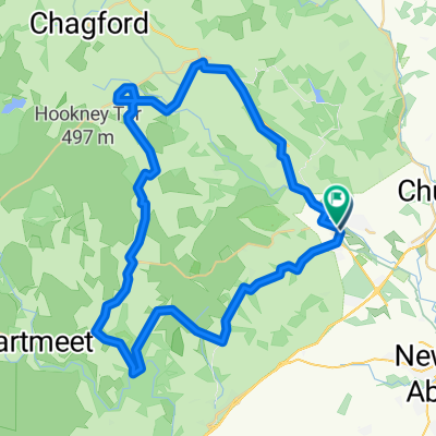
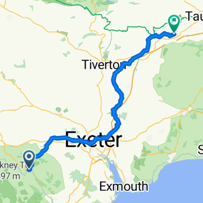
- 23,8 km
- 90 m
- 244 m
- Bovey Tracey, Inghilterra, Regno Unito
Day 12, 67 miles from Moretonhamstead to Carlyon Bay
Un percorso ciclabile con partenza da Bovey Tracey, Inghilterra, Regno Unito.
Panoramica
Su questo percorso
12 settembre 2006. C'era stata una leggera pioggia al mattino, ma si è rivelata una giornata calda, umida e occasionalmente soleggiata. Tra le colline ricorrenti nel percorso di 65 miglia dal White Hart alla località balneare di Porth Avellen, appena a ovest di St. Austell, abbiamo visto molti segnali stradali che avvisavano di pendenze del 14% e 17%. Ci siamo rinvigoriti con un delizioso tè con biscotti, marmellata e clotted cream a Minions, 'la città più alta della Cornovaglia', sul bordo sud-est del Bodwin Moor. Nessuno di noi vuole ripetere l'esperienza di combattere il traffico su e giù per le colline negli ultimi 12 miglia lungo la A390, soprattutto in condizioni di nebbia leggera, ma eravamo certamente pronti per la birra e la doccia che ci aspettavano a Porth Avallen, dove abbiamo avuto la nostra ultima elegante cena del viaggio.
- -:--
- Durata
- 106,9 km
- Distanza
- 1.707 m
- Salita
- 1.848 m
- Discesa
- ---
- Velocità media
- 308 m
- Altitudine max.
creato 4 anni fa
Foto del percorso
Qualità del percorso
Tipi di percorsi e superfici lungo il percorso
Tipi di percorso
Strada
34,2 km
(32 %)
Strada tranquilla
23,5 km
(22 %)
Superfici
Asfaltato
63,1 km
(59 %)
Asfalto
63,1 km
(59 %)
Non definito
43,8 km
(41 %)
Continua con Bikemap
Usa, modifica o scarica questo percorso ciclabile
Vuoi percorrere Day 12, 67 miles from Moretonhamstead to Carlyon Bay o personalizzarlo per il tuo viaggio? Ecco cosa puoi fare con questo percorso su Bikemap:
Funzionalità gratuite
- Salva questo percorso tra i preferiti o in una raccolta
- Copia e pianifica la tua versione di questo percorso
- Dividilo in tappe per creare un tour di più giorni
- Sincronizza il tuo percorso con Garmin o Wahoo
Funzionalità Premium
Prova gratuita di 3 giorni o pagamento una tantum. Scopri di più su Bikemap Premium.
- Naviga questo percorso su iOS e Android
- Esporta un file GPX / KML di questo percorso
- Crea la tua stampa personalizzata (provala gratis)
- Scarica questo percorso per la navigazione offline
Scopri altre funzionalità Premium.
Ottieni Bikemap PremiumDalla nostra community
Bovey Tracey: Altri percorsi popolari che iniziano qui
- Pound Street 36, Moretonhampstead to Primrose Drive 46
- Haytor Megaavalanche
- 13,3 km
- 318 m
- 498 m
- Bovey Tracey, Inghilterra, Regno Unito
- Bovey Tracey, Newton Abbot to Exeter Road, Kingsteignton, Newton Abbot
- 9,1 km
- 47 m
- 73 m
- Bovey Tracey, Inghilterra, Regno Unito
- 23 Brow Hill, Newton Abbot to Rose Lawn, Newton Abbot
- 2,6 km
- 19 m
- 46 m
- Bovey Tracey, Inghilterra, Regno Unito
- Route in Newton Abbot
- 16,8 km
- 132 m
- 366 m
- Bovey Tracey, Inghilterra, Regno Unito
- Station Road 6A to Station Road 6A
- 51,2 km
- 1.105 m
- 1.103 m
- Bovey Tracey, Inghilterra, Regno Unito
- Day 12, 67 miles from Moretonhamstead to Carlyon Bay
- 106,9 km
- 1.707 m
- 1.848 m
- Bovey Tracey, Inghilterra, Regno Unito
- Station Road nach North Street
- 73,3 km
- 1.092 m
- 1.213 m
- Bovey Tracey, Inghilterra, Regno Unito
Aprila nell’app


