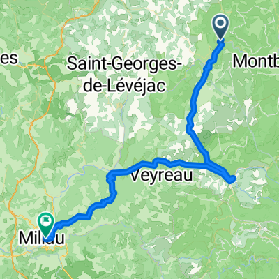
F122-2024-Chanac-Florac-Les Vignes-La Malene-Chanac
- 118,7 km
- 3.462 m
- 3.474 m
- Chanac, Occitanie, Francia
Un percorso ciclabile con partenza da Chanac, Occitanie, Francia.
Panoramica
È stata un'altra pedalata sotto cieli minacciosi per tutto il giorno... e siamo stati ancora fortunati a non essere bagnati. Gli unici disagi sono stati il vento freddo e la nebbia ad altitudini più elevate quando siamo arrivati nelle montagne dell'Aubrac verso la fine della pedalata. Lì eravamo generalmente tra 1200 M e 1250 M, con un massimo di 1280 M. La nostra attrezzatura da ciclismo più calda ha funzionato meravigliosamente. La campagna lì, tuttavia, era fantastica per il ciclismo; un vero piacere stare lì. Lungo la N9, abbiamo visto la costruzione di un nuovo ponte che ci ha ricordato il viadotto sotto il quale eravamo passati l'anno scorso nel 2004, appena a ovest di Millau. Parte di questo nuovo ponte sembrava senza alcun supporto. Un cartello indicava che il periodo di costruzione era dal 2003 al 2007. [Nel 2009, e forse anche negli anni successivi, siamo tornati qui scoprendo il ponte completato.] Passando per Marvejols, ci siamo imbattuti in una scultura del mostro di Marvejols. Sicuramente un buon posto per una foto. Contesto: Io e mia moglie facciamo tour auto-sostenuti in Europa occidentale (la maggior parte in Francia) dal 1993. Questa serie di giri copre il nostro percorso di 2 mesi del 2005 attraverso alcune parti della Francia. Il nostro punto di partenza e di arrivo è vicino a Chaduri (a sud di Angoulême), dove i nostri amici hanno una fattoria con Gîtes e Chambres d'Hôtes. Abbiamo pedalato con le nostre biciclette da turismo Dawes acquistate nel 1993, pesantemente caricate con pneumatici da 700Cx32. Tutti i nostri giri sono stati su strade asfaltate, per lo più con pochissimo traffico. Se avete domande, non esitate a inviarmi un'email a jeffkadet@netdiving.com. Jeff
creato 14 anni fa
Qualità del percorso
Strada tranquilla
3,4 km
(4 %)
Strada di accesso
0,9 km
(1 %)
Asfaltato
61,1 km
(71 %)
Non asfaltato
0,9 km
(1 %)
Asfalto
61,1 km
(71 %)
Ghiaia
0,9 km
(1 %)
Non definito
24,1 km
(28 %)
Continua con Bikemap
Vuoi percorrere Ride Day 31—12 Oct 2005—48210 St-Chely du Tarn/Sainte Énimie to 48260 Recoules D'Aubrac (Nasbinals) o personalizzarlo per il tuo viaggio? Ecco cosa puoi fare con questo percorso su Bikemap:
Prova gratuita di 3 giorni o pagamento una tantum. Scopri di più su Bikemap Premium.
Scopri altre funzionalità Premium.
Ottieni Bikemap PremiumDalla nostra community
Aprila nell’app