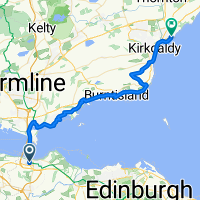
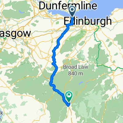
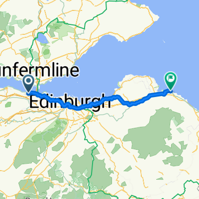
- 35,1 km
- 400 m
- 435 m
- Queensferry, Scozia, Regno Unito
St Margarets Way-South Queensferry to Burntisland
Un percorso ciclabile con partenza da Queensferry, Scozia, Regno Unito.
Panoramica
Su questo percorso
Attraversando il ponte stradale, a centinaia di piedi sopra il Firth su una pista ciclo-pedonale speciale, il cammino scende a North Queensferry dove, direttamente sotto il famoso ponte ferroviario, si unisce al Fife Coastal Path. Questo sentiero abbraccia la costa dominata da grandi bluff di magma, ricordi del passato vulcanico della Scozia, fino a Dalgety Bay. Grandi vedute guardando indietro ai famosi ponti di Forth.
Rimanendo sul Fife Coastal Path e sulla National Bike Route segnalati, il cammino continua lungo strade tranquille e sentieri forestali e la famosa isola di Inchcolm appare in vista. Poi, passando davanti alla chiesa di St Bridget’s, si entra nel grazioso villaggio di pescatori di Aberdour, dominato dal suo castello, e si scende verso il porto. Poi lungo il Fife Coastal Path attorno alle baie e attraverso le zone boschive fino alla vivace città di Burnt Island. Piano e facile da percorrere. Tanti negozi e pub e cartelli informativi lungo il percorso.
Questa è la 2ª sezione di St Margaret’s Way, il grande sentiero di pellegrinaggio di 100 km da Edimburgo a St Andrews, parte della rinascita del pellegrinaggio di 1000 anni, The Way of St Andrews. (http://www.thewayofstandrews.com)
- -:--
- Durata
- 20,4 km
- Distanza
- 165 m
- Salita
- 170 m
- Discesa
- ---
- Velocità media
- ---
- Altitudine max.
creato 13 anni fa
Punti salienti del percorso
Punti di interesse lungo il percorso

Punto di interesse dopo 15,4 km
Many million years ago this was a region of active volcanoes. Here is where, deep down, a flow of molten rock (light grey) was squeezed between layers of sandstone. Called a sill, the molten rock contains bits of sandstone which it plucked up as it flowed. Thanks to geoHeritage Fife for advice and image.
Continua con Bikemap
Usa, modifica o scarica questo percorso ciclabile
Vuoi percorrere St Margarets Way-South Queensferry to Burntisland o personalizzarlo per il tuo viaggio? Ecco cosa puoi fare con questo percorso su Bikemap:
Funzionalità gratuite
- Salva questo percorso tra i preferiti o in una raccolta
- Copia e pianifica la tua versione di questo percorso
- Sincronizza il tuo percorso con Garmin o Wahoo
Funzionalità Premium
Prova gratuita di 3 giorni o pagamento una tantum. Scopri di più su Bikemap Premium.
- Naviga questo percorso su iOS e Android
- Esporta un file GPX / KML di questo percorso
- Crea la tua stampa personalizzata (provala gratis)
- Scarica questo percorso per la navigazione offline
Scopri altre funzionalità Premium.
Ottieni Bikemap PremiumDalla nostra community
Queensferry: Altri percorsi popolari che iniziano qui
- From South Queensferry to Kirkcaldy
- Stage 6 to Moff
- 108 km
- 841 m
- 748 m
- Queensferry, Scozia, Regno Unito
- Almond, South Queensferry to South Clerk Street, Edinburgh
- 17,4 km
- 218 m
- 189 m
- Queensferry, Scozia, Regno Unito
- St Margarets Way-South Queensferry to Burntisland
- 20,4 km
- 165 m
- 170 m
- Queensferry, Scozia, Regno Unito
- FRB to Commie
- 21,5 km
- 166 m
- 122 m
- Queensferry, Scozia, Regno Unito
- South_Queensferry_Falkirk_Grangemouth
- 28,7 km
- 173 m
- 188 m
- Queensferry, Scozia, Regno Unito
- Queensferry - Dunbar
- 76,6 km
- 444 m
- 475 m
- Queensferry, Scozia, Regno Unito
- 24 High Street, South Queensferry to 6 Hopetoun Street, Edinburgh
- 17,9 km
- 160 m
- 149 m
- Queensferry, Scozia, Regno Unito
Aprila nell’app


