

The Weald
Un percorso ciclabile con partenza da Maidenbower, Inghilterra, Regno Unito.
Panoramica
Su questo percorso
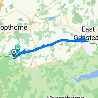
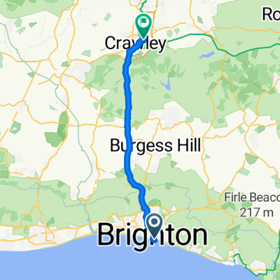
Questa è una route di 43 miglia attraverso l'Area di Eccezionale Bellezza Naturale 'High Weald' da Crawley fino ai sobborghi di Eastbourne. Per POI, note e aggiornamenti vedere www.pootler.co.uk. Attrarrà chiunque voglia un sentiero fuori strada che non comporti le strade molto accidentate tanto amate dai ciclisti di montagna. Segue la National Cycle Route 21, quindi mappare è stato molto poco impegnativo per me. Ho evitato i waypoints semplicemente perché sono ignorante riguardo a qualsiasi cosa interessante da vedere lungo il percorso. L'attrazione è semplicemente il generosamente boscoso paesaggio; 'Weald' deriva dalla vecchia parola tedesca 'Wald' e significa 'Boscoso'.
Ma l''Alto' nel nome non è un errore e ci sono alcune salite tra le miglia 21 e 31 mentre ti dirigi a sud, prima di una dolce discesa dal Weald verso la costa sul 'Cuckoo Trail' verso la stazione di Polegate. Questa è una delle molte tracce costruite su linee ferroviarie tagliate da Beeching negli anni '60 e credo che andasse da Polegate a Tunbridge Wells. A quanto pare, liberavano un cuculo ogni anno al Heathfield Fare, il che sostenevano fantasiosamente fosse il primo cuculo di primavera, da cui il nome.
Se vuoi andare oltre a Eastbourne, forse per una cena sul lungomare, hai altri cinque miglia da percorrere.
Cuckoo Trail Come tutto il sud-est dell'Inghilterra, le rocce di argilla e arenaria del Weald si sono formate da sedimenti di fango sul fondo del mare. Sono emerse dall'acqua circa 60 milioni di anni fa, solo per essere piegate dai movimenti nella crosta terrestre. Il Weald era un anticlinale o piega che si solleva, che, dopo essersi spostato sopra il parapetto, è stato scolpito da valli fluviali ed eroso. (La sinclinale o piega verso il basso a nord divenne il Thames Basin).
L'area è ora un'Area di Eccezionale Bellezza Naturale (AONB), descritta sul loro sito web come “un paesaggio medievale di colline boscose e ondulate costellate di affioramenti di arenaria; piccoli campi di forma irregolare; fattorie sparse; e antiche vie di transito”. Vedi il link qui sotto.
L'High Weald è rimasto fortemente boscoso per secoli ed è stato solo debolmente popolato fino a poco tempo fa. Ora, non è un'Arcadia sott'aceto, ma una delle aree di campagna protette più densamente popolate della Gran Bretagna e parte dell'ombreggiatura del Grande Wen. Il percorso sembra davvero più isolato di quanto non sia; gli alberi nascondono molte cose e il sentiero si snoda come un fantasma astuto attraverso le città, ma guardandosi intorno vedrai anche più di una visione sporadica delle ordinate file di case bifamiliari, berline e saloni della diaspora londinese. Ma è comunque bellissimo ed se guardi attentamente e sai cosa cercare, vedrai i deboli e tremolanti lasciti di antichi fossi di confine, sentieri e siepi, queste ultime tutte cresciute a bosco e a volte potate.
- -:--
- Durata
- 121 km
- Distanza
- 1.448 m
- Salita
- 1.453 m
- Discesa
- ---
- Velocità media
- 194 m
- Altitudine max.

Foto del percorso

Qualità del percorso
Tipi di percorsi e superfici lungo il percorso
Tipi di percorso
Pista ciclabile
72,6 km
(60 %)
Strada
25,4 km
(21 %)
Superfici
Asfaltato
76,3 km
(63 %)
Non asfaltato
39,9 km
(33 %)
Asfalto
75 km
(62 %)
Ghiaia
32,7 km
(27 %)
Continua con Bikemap
Usa, modifica o scarica questo percorso ciclabile
Vuoi percorrere The Weald o personalizzarlo per il tuo viaggio? Ecco cosa puoi fare con questo percorso su Bikemap:
Funzionalità gratuite
- Salva questo percorso tra i preferiti o in una raccolta
- Copia e pianifica la tua versione di questo percorso
- Dividilo in tappe per creare un tour di più giorni
- Sincronizza il tuo percorso con Garmin o Wahoo
Funzionalità Premium
Prova gratuita di 3 giorni o pagamento una tantum. Scopri di più su Bikemap Premium.
- Naviga questo percorso su iOS e Android
- Esporta un file GPX / KML di questo percorso
- Crea la tua stampa personalizzata (provala gratis)
- Scarica questo percorso per la navigazione offline
Scopri altre funzionalità Premium.
Ottieni Bikemap PremiumDalla nostra community
Maidenbower: Altri percorsi popolari che iniziano qui
 Gare three bridges Redhill
- Distanza
- 22,5 km
- Salita
- 95 m
- Discesa
- 84 m
- Posizione
- Maidenbower, Inghilterra, Regno Unito
 Crawley to Eastbourne
- Distanza
- 75,8 km
- Salita
- 444 m
- Discesa
- 512 m
- Posizione
- Maidenbower, Inghilterra, Regno Unito
 Six Week Service @ Sydney Street Bikes
- Distanza
- 40 km
- Salita
- 276 m
- Discesa
- 334 m
- Posizione
- Maidenbower, Inghilterra, Regno Unito
 Sunday experiment
- Distanza
- 54,1 km
- Salita
- 404 m
- Discesa
- 406 m
- Posizione
- Maidenbower, Inghilterra, Regno Unito

Edge520®
Maidenbower Cycling- Distanza
- 7,7 km
- Salita
- 153 m
- Discesa
- 123 m
- Posizione
- Maidenbower, Inghilterra, Regno Unito
 hallans
- Distanza
- 3,7 km
- Salita
- 13 m
- Discesa
- 13 m
- Posizione
- Maidenbower, Inghilterra, Regno Unito
 Little Worth, Crawley Down to Worth Way, Crawley Down
- Distanza
- 16,1 km
- Salita
- 126 m
- Discesa
- 119 m
- Posizione
- Maidenbower, Inghilterra, Regno Unito
 Lengthy bike tour through Crawley
- Distanza
- 39,4 km
- Salita
- 316 m
- Discesa
- 260 m
- Posizione
- Maidenbower, Inghilterra, Regno Unito
Aprila nell’app