
Deutschland2027 E8
- 70,6 km
- 709 m
- 951 m
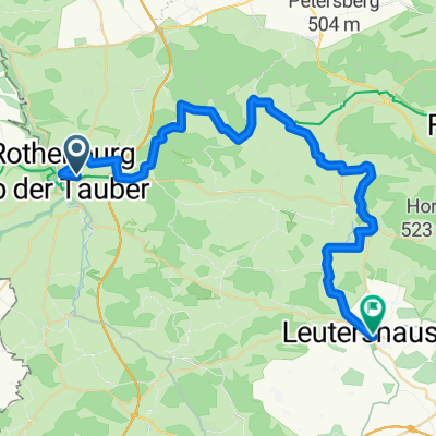
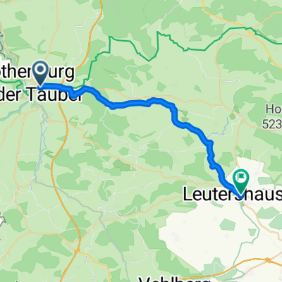
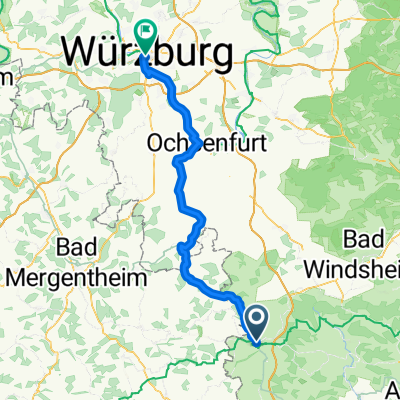
- Rothenburg ob der Tauber, Baviera, Germania
Un percorso ciclabile con partenza da Rothenburg ob der Tauber, Baviera, Germania.
Panoramica
Altre informazioni sul Tauber-Altmühl Radweg:
https://www.cyclingthread.com/franconia-and-tauber-altmuhl-radweg-perfect-german-getaway
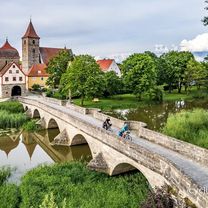
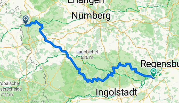
Il Tauber-Altmühl Radweg in Franconia è uno dei percorsi ciclabili più affascinanti della Germania, che attraversa le valli dei fiumi Tauber e Altmühl e i paesaggi rocciosi del Giura francone. La sua atmosfera romantica è esaltata dai borghi medievali, con Rothenburg ob der Tauber in particolare tra le principali attrazioni del paese. Il percorso inizia a Wertheim, passa per Rothenburg e, dopo aver attraversato la linea di spartiacque europea, segue l'Altmühl fino a Kelheim, dove il fiume confluisce nel Danubio. Il tratto della Tauber è lungo circa 100 km, mentre l'Altmühl ne aggiunge circa 250, offrendo esperienze varie. I fondi variano dall'asfalto liscio a tratti ghiaiosi che si integrano bene nel paesaggio del Giura, anche se risultano meno confortevoli. Lungo il percorso i ciclisti possono ammirare formazioni geologiche come il Burgstein, ponti storici a Ornbau e il Museo del Giura nella Willibaldsburg di Eichstätt. Complessivamente, il percorso combina paesaggi, storia e buona infrastruttura, rendendolo un'ottima scelta per un lungo weekend o per una vacanza in bici più lunga in Franconia.
creato 4 mesi fa


Continua con Bikemap
Vuoi percorrere Tauber-Altmühl Cycle Route - Rothenburg ob der Tauber to Kelheim o personalizzarlo per il tuo viaggio? Ecco cosa puoi fare con questo percorso su Bikemap:
Prova gratuita di 3 giorni o pagamento una tantum. Scopri di più su Bikemap Premium.
Scopri altre funzionalità Premium.
Ottieni Bikemap PremiumDalla nostra community
Aprila nell’app