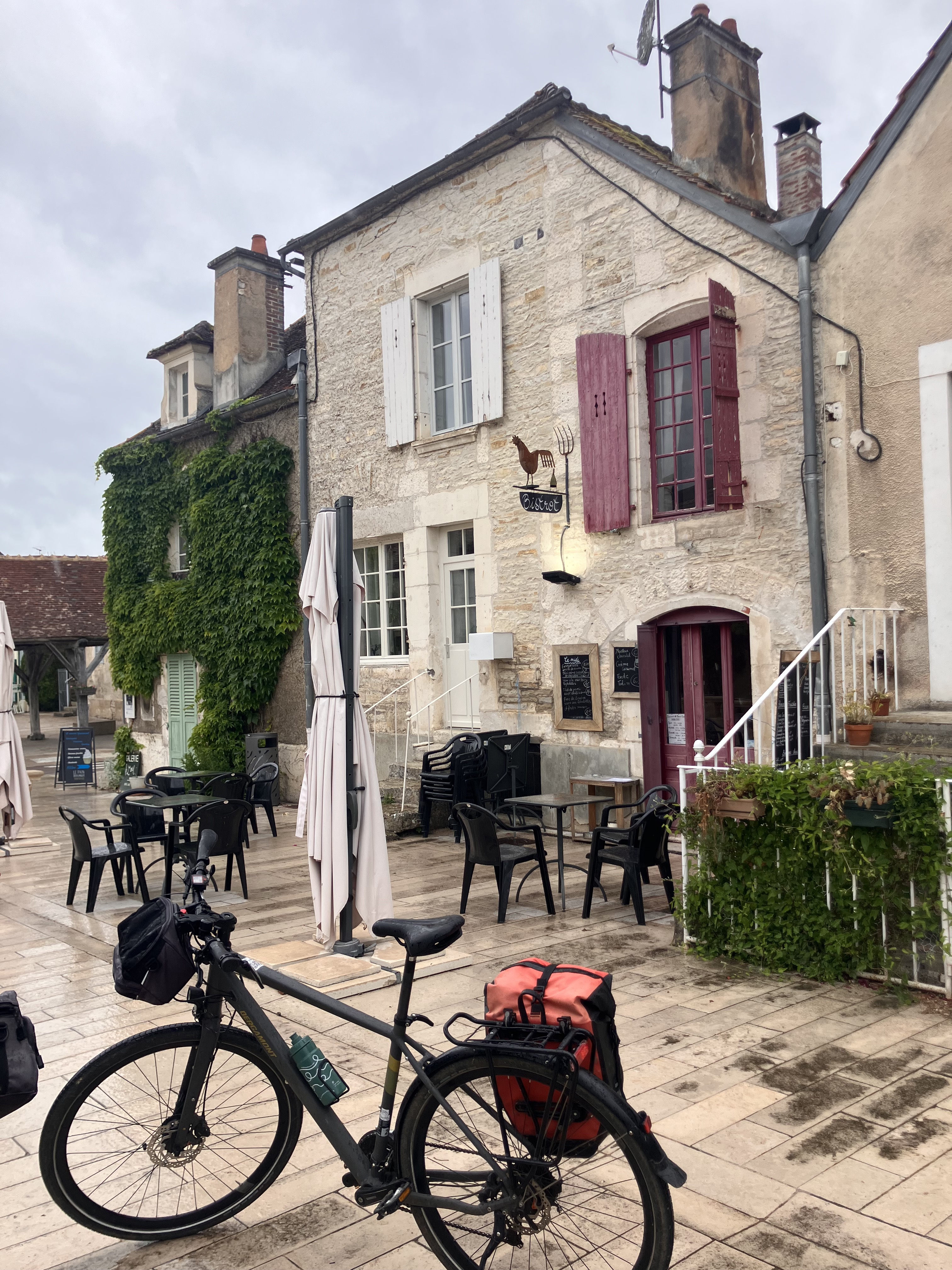
Camino 2015 08b Tonnerre nach Auxerre
Un percorso ciclabile con partenza da Tonnerre, Borgogna-Franca Contea, Francia.
Panoramica
Su questo percorso
<table border="0" cellpadding="0" cellspacing="0" style="width:232px;" width="232"> <colgroup> <col /> <col /> <col /> <col /> <col /> </colgroup> <tbody> <tr height="20"> <td height="20" style="height:20px;width:34px;"> 5,0</td> <td style="width:34px;"> 5,0</td> <td colspan="2" style="width:98px;"> Vézinnes</td> <td style="width:64px;"> </td> </tr> <tr height="20"> <td height="20" style="height:20px;width:34px;"> 8,0</td> <td style="width:34px;"> 3,0</td> <td> Roffey</td> <td> </td> <td> </td> </tr> <tr height="20"> <td height="20" style="height:20px;width:34px;"> 16,0</td> <td style="width:34px;"> 8,0</td> <td colspan="3"> Villiers-Vineux</td> </tr> <tr height="20"> <td height="20" style="height:20px;width:34px;"> 20,0</td> <td style="width:34px;"> 4,0</td> <td colspan="2"> Jaulges</td> <td> </td> </tr> <tr height="20"> <td height="20" style="height:20px;width:34px;"> 22,0</td> <td style="width:34px;"> 2,0</td> <td> Chéu</td> <td> </td> <td> </td> </tr> <tr height="20"> <td height="20" style="height:20px;width:34px;"> 26,0</td> <td style="width:34px;"> 4,0</td> <td colspan="2"> Vergigny</td> <td> </td> </tr> <tr height="20"> <td height="20" style="height:20px;width:34px;"> 30,0</td> <td style="width:34px;"> 4,0</td> <td colspan="2"> Bouilly</td> <td> </td> </tr> <tr height="20"> <td height="20" style="height:20px;width:34px;"> 35,0</td> <td style="width:34px;"> 5,0</td> <td colspan="3"> Brienon-sur-Armancon</td> </tr> <tr height="20"> <td height="20" style="height:20px;width:34px;"> 38,0</td> <td style="width:34px;"> 3,0</td> <td> Esnon</td> <td> </td> <td> </td> </tr> <tr height="20"> <td height="20" style="height:20px;width:34px;"> 42,0</td> <td style="width:34px;"> 4,0</td> <td colspan="2"> Migennes</td> <td> </td> </tr> <tr height="20"> <td height="20" style="height:20px;width:34px;"> 44,0</td> <td style="width:34px;"> 2,0</td> <td> Cheny</td> <td> </td> <td> </td> </tr> <tr height="20"> <td height="20" style="height:20px;width:34px;"> 48,0</td> <td style="width:34px;"> 4,0</td> <td colspan="2"> Bassou</td> <td> </td> </tr> <tr height="20"> <td height="20" style="height:20px;width:34px;"> 54,0</td> <td style="width:34px;"> 6,0</td> <td colspan="2"> Appoigny</td> <td> </td> </tr> <tr height="20"> <td height="20" style="height:20px;width:34px;"> 60,0</td> <td style="width:34px;"> 6,0</td> <td colspan="2"> Monéteau</td> <td> </td> </tr> <tr height="20"> <td height="20" style="height:20px;width:34px;"> 67,0</td> <td style="width:34px;"> 7,0</td> <td colspan="2"> Auxerre</td> <td> </td> </tr> </tbody> </table>
flache Route entlang von Kanälen Hotel Restaurant De Seignelay<br /> 2 à 6 rue du Pont 89000 Auxerre Telefon +33386520348- -:--
- Durata
- 67,1 km
- Distanza
- 93 m
- Salita
- 112 m
- Discesa
- ---
- Velocità media
- ---
- Altitudine max.
Qualità del percorso
Tipi di percorsi e superfici lungo il percorso
Tipi di percorso
Strada
32,9 km
(49 %)
Strada tranquilla
14,8 km
(22 %)
Superfici
Asfaltato
26,2 km
(39 %)
Non asfaltato
3,4 km
(5 %)
Asfalto
26,2 km
(39 %)
Ghiaia
2 km
(3 %)
Continua con Bikemap
Usa, modifica o scarica questo percorso ciclabile
Vuoi percorrere Camino 2015 08b Tonnerre nach Auxerre o personalizzarlo per il tuo viaggio? Ecco cosa puoi fare con questo percorso su Bikemap:
Funzionalità gratuite
- Salva questo percorso tra i preferiti o in una raccolta
- Copia e pianifica la tua versione di questo percorso
- Sincronizza il tuo percorso con Garmin o Wahoo
Funzionalità Premium
Prova gratuita di 3 giorni o pagamento una tantum. Scopri di più su Bikemap Premium.
- Naviga questo percorso su iOS e Android
- Esporta un file GPX / KML di questo percorso
- Crea la tua stampa personalizzata (provala gratis)
- Scarica questo percorso per la navigazione offline
Scopri altre funzionalità Premium.
Ottieni Bikemap PremiumDalla nostra community
Tonnerre: Altri percorsi popolari che iniziano qui
 Camino 2015 8c Tonnerre nach Auxerre - Chemin de Halage
- Distanza
- 71,4 km
- Salita
- 40 m
- Discesa
- 77 m
- Posizione
- Tonnerre, Borgogna-Franca Contea, Francia
 Camino 2015 08 Tonnerre nach Auxerre
- Distanza
- 38,6 km
- Salita
- 493 m
- Discesa
- 527 m
- Posizione
- Tonnerre, Borgogna-Franca Contea, Francia
 Rue de la Fosse Dionne, Tonnerre to Le Moulin Neuf, Ancy-le-Franc
- Distanza
- 31,5 km
- Salita
- 77 m
- Discesa
- 45 m
- Posizione
- Tonnerre, Borgogna-Franca Contea, Francia
 canal burgundy
- Distanza
- 130,1 km
- Salita
- 523 m
- Discesa
- 425 m
- Posizione
- Tonnerre, Borgogna-Franca Contea, Francia
 Camino 2015 08b Tonnerre nach Auxerre
- Distanza
- 67,1 km
- Salita
- 93 m
- Discesa
- 112 m
- Posizione
- Tonnerre, Borgogna-Franca Contea, Francia
 MORVAN D4 Les mulots-Montsauches-les-settons
- Distanza
- 99,3 km
- Salita
- 1.038 m
- Discesa
- 760 m
- Posizione
- Tonnerre, Borgogna-Franca Contea, Francia
 30 Rue de l'Hôpital, Tonnerre to Avenue Édouard Herriot, Mâcon
- Distanza
- 264,9 km
- Salita
- 1.734 m
- Discesa
- 1.704 m
- Posizione
- Tonnerre, Borgogna-Franca Contea, Francia
 Tonnerre-Nuits sur Armençon
- Distanza
- 17 km
- Salita
- 0 m
- Discesa
- 0 m
- Posizione
- Tonnerre, Borgogna-Franca Contea, Francia
Aprila nell’app


