towers short circuit
- 5,1 km
- 125 m
- 124 m
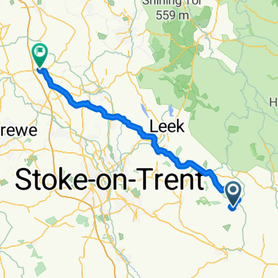
- Mayfield, Inghilterra, Regno Unito
La fine del Manifold Way verso Hartington sembra una strada che potrebbe avere traffico veloce. Non è un tratto molto lungo e non vedo modo di evitarlo. Tuttavia, la visibilità è buona, quindi puoi vedere cosa arriva da lontano.
Un tratto dell'High Peak Trail dopo Hurdlow. La superficie potrebbe non essere ottimale, si potrebbe deviare su una strada parallela.
Il tratto prima di Harpur Hill è abbastanza difficile da valutare. Le immagini satellitari la mostrano abbastanza ragionevole, ma sembra che il percorso sia abbastanza recente. Preparati a deviare se non esiste.
Un tratto di Old Road che conduce al centro all'aperto White Hall sembra sospetto. Preparati a scendere dalla bici e camminare.
Da New Mills a Mellor la superficie potrebbe essere un problema con il maltempo. Se ha piovuto prendi la Mellor Rd.
Marple Rd/Glossop Rd intorno a Charlesworth sembrano essere strade trafficate. Fai attenzione, possibilmente usa il marciapiede se è tranquillo.
Strada tranquilla
35 km49 %Pista ciclabile
19,3 km27 %Asfaltato
41,5 km(58 %)Non asfaltato
9,3 km(13 %)Asfalto
41,5 km58 %Ghiaia
7,9 km11 %Prova gratuita di 3 giorni o pagamento una tantum. Scopri di più su Bikemap Premium.
Scopri altre funzionalità Premium.
Ottieni Bikemap PremiumAprila nell’app