
Moje zapisane trasy
Kolekcja 6 tras rowerowych, utworzona przez Ventaiga.
Przegląd
O tej kolekcji
This collection contains all routes that were previously saved.
- 6
- Trasy
- -:--
- Czas
- 903 km
- Dystans
- ---
- Śr. Prędkość
- 2889 m
- Przewyższenia
- 2871 m
- Spadek
Ventaiga
utworzono 9 lat temu temu
Moje zapisane trasy
Trasy w tej kolekcji
Wszystkie 6 trasy z tej kolekcji można otworzyć na mapie lub w aplikacji Bikemap, aby uzyskać więcej informacji. Możesz je dostosować w planerze tras lub pobrać jako plik GPX lub KML. Użyj ich jako szablonu do planowania własnych przejazdów lub pozwól Bikemap prowadzić cię bezpośrednio.

Haute Normandie: Fecamp-Le Havre
Trasa rowerowa w Fécamp, Normandia, Francja
Fecamp-Etretat-LeHavre in a nice route: the white cliffs are a highlight but Etretat Le Havre is less exciting. pretty flat and rather boring. But arriving in Le Havre is still impressive. Especially if you arrive on the top of the hill from which you can the see the port.
- 46,8 km
- Dystans
- 373 m
- Przewyższenia
- 349 m
- Spadek

2011-1: Le Havre > Cherbourg-Octeville (269 km)
Trasa rowerowa w Fontaine-la-Mallet, Normandia, Francja
- 268,9 km
- Dystans
- 724 m
- Przewyższenia
- 772 m
- Spadek

Calvados Challenge
Trasa rowerowa w Cherbourg, Normandia, Francja
- 367,7 km
- Dystans
- 821 m
- Przewyższenia
- 814 m
- Spadek

Frankreich 2002 02
Trasa rowerowa w Ablon, Normandia, Francja
Pont de Normandie - Les Moulin
- 123,9 km
- Dystans
- 518 m
- Przewyższenia
- 531 m
- Spadek

16 - Pirou.Plage nach Bas-Courtils
Trasa rowerowa w Pirou, Normandia, Francja
Tag16
- 93,3 km
- Dystans
- 384 m
- Przewyższenia
- 378 m
- Spadek
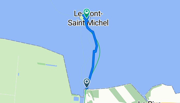
mont saint michel
Trasa rowerowa w Roz-sur-Couesnon, Bretania, Francja
Mony Saint Michel
- 2,5 km
- Dystans
- 69 m
- Przewyższenia
- 27 m
- Spadek