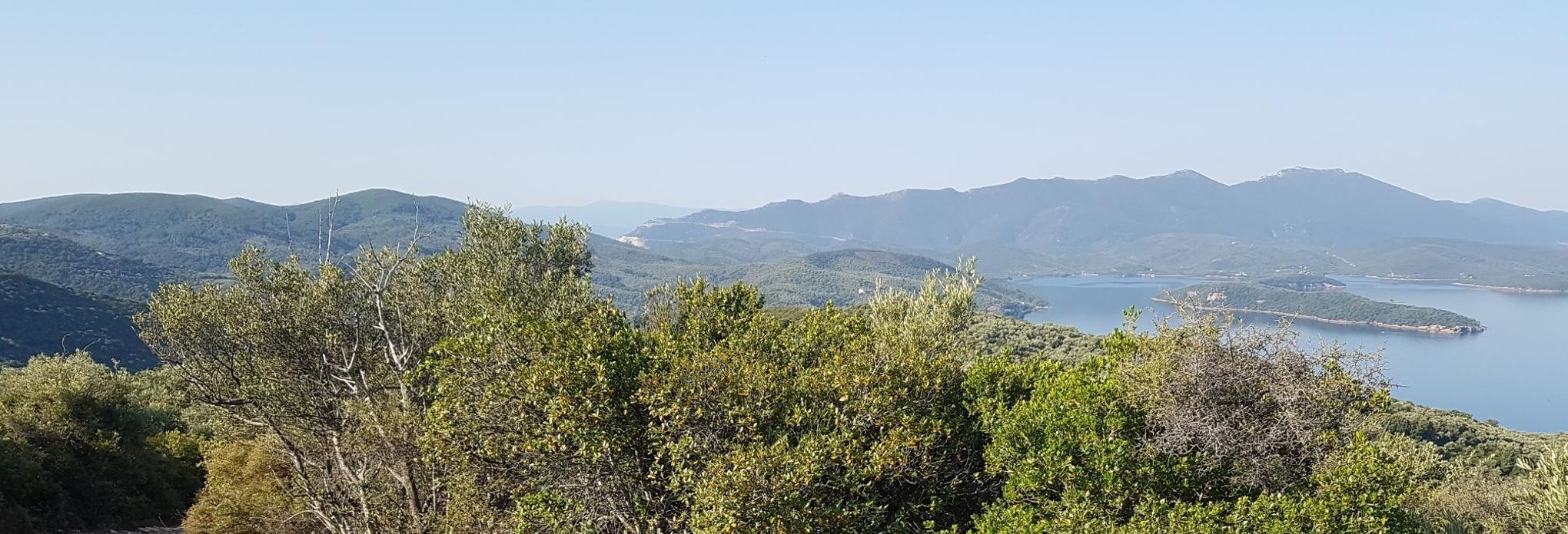
Leda Routes
Wyprawa rowerowa z 3 etapami, rozpoczynająca się w Argalastí, Thessaly, Grecja.
Przegląd
O tej trasie
Kolekcja tras rozpoczynających się w Leda Beach Club, Horto.
- 3
- Trasy
- -:--
- Czas
- 35,9 km
- Dystans
- ---
- Śr. Prędkość
- 1004 m
- Przewyższenia
- 1022 m
- Spadek
Leda Routes
Etapy tej wycieczki
Wszystkie 3 etapy tej wycieczki można otworzyć na mapie lub w aplikacji Bikemap, aby uzyskać więcej szczegółów, gdzie możesz dostosować je w planerze tras lub pobrać jako plik GPX lub KML. Wykorzystaj je jako szablon do planowania własnej wycieczki lub pozwól Bikemap prowadzić Cię bezpośrednio po nich.
Solar Shred
Trasa rowerowa w Argalastí, Thessaly, Grecja
Trudna wspinaczka terenowa, po której następuje szybki zjazd krętą drogą leśną do Meliny. Możesz potem kontynuować drogą lub wjechać dalej w pagórki, aby dotrzeć do Horto.
- 12 km
- Dystans
- 403 m
- Przewyższenia
- 410 m
- Spadek
Paou Monastry Simplified
Trasa rowerowa w Argalastí, Thessaly, Grecja
Dość krótka przejażdżka do klasztoru Paou, z szybką zjazdem po asfalcie, który sprawi, że poczujesz dreszcz na karku.
- 9,5 km
- Dystans
- 279 m
- Przewyższenia
- 288 m
- Spadek
Postcard
Trasa rowerowa w Argalastí, Thessaly, Grecja
Wspinaczka asfaltowa, dalej droga leśna, kończąca się szybką i płynną zjazdem.
Skręć w lewo wychodząc z hotelu i wspinaj się drogą w kierunku Argalasti.
Na pierwszym skrzyżowaniu skręć w prawo do Metochi.
Po przejechaniu Metochi zwróć uwagę na lustro na słupie i skręć w prawo w betonową d…
- 14,4 km
- Dystans
- 322 m
- Przewyższenia
- 324 m
- Spadek


