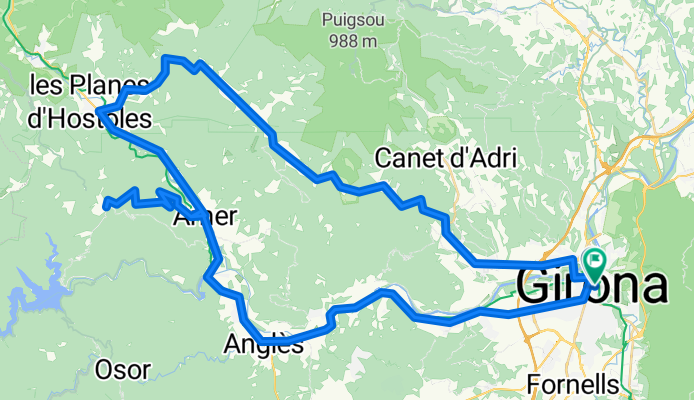
Girona
Wyprawa rowerowa z 13 etapów, rozpoczynająca się w Girona, Catalunya, Hiszpania.
Przegląd
O tej trasie
Ta wycieczka rowerowa ma 13 etapów i łączną długość 1348,8 km.
- 13
- Trasy
- -:--
- Czas
- 1348,8 km
- Dystans
- ---
- Śr. Prędkość
- 16 488 m
- Przewyższenia
- 16 238 m
- Spadek
utworzono 7 lat temu temu
Girona
Etapy tej wycieczki
Wszystkie 13 etapy tej wycieczki można otworzyć na mapie lub w aplikacji Bikemap, aby uzyskać więcej szczegółów, gdzie możesz dostosować je w planerze tras lub pobrać jako plik GPX lub KML. Wykorzystaj je jako szablon do planowania własnej wycieczki lub pozwól Bikemap prowadzić Cię bezpośrednio po nich.
Girona - Sant Marti Sacalm - Rocacorba - Girona
Trasa rowerowa w Girona, Catalunya, Hiszpania
- 163,6 km
- Dystans
- 2233 m
- Przewyższenia
- 2232 m
- Spadek
Els Angels
Trasa rowerowa w Girona, Catalunya, Hiszpania
- 60,9 km
- Dystans
- 1279 m
- Przewyższenia
- 1267 m
- Spadek
Girona-campdora-Medinya-Cornellà del Terri- Crespià - Banyoles - Rocacorba - Camós- Girona
Trasa rowerowa w Girona, Catalunya, Hiszpania
- 107,8 km
- Dystans
- 1228 m
- Przewyższenia
- 1225 m
- Spadek
St Hilari
Trasa rowerowa w Girona, Catalunya, Hiszpania
- 105,7 km
- Dystans
- 1038 m
- Przewyższenia
- 1039 m
- Spadek
Volcanic Route
Trasa rowerowa w Girona, Catalunya, Hiszpania
- 171 km
- Dystans
- 2025 m
- Przewyższenia
- 2028 m
- Spadek
Les Serres
Trasa rowerowa w Girona, Catalunya, Hiszpania
- 64,7 km
- Dystans
- 1000 m
- Przewyższenia
- 943 m
- Spadek
Les Serres - versió extesa 100km
Trasa rowerowa w Girona, Catalunya, Hiszpania
- 99,1 km
- Dystans
- 1067 m
- Przewyższenia
- 995 m
- Spadek
Sant Marti Sacalm
Trasa rowerowa w Girona, Catalunya, Hiszpania
- 85,4 km
- Dystans
- 1633 m
- Przewyższenia
- 1601 m
- Spadek
Sant Hilari Sacalm
Trasa rowerowa w Girona, Catalunya, Hiszpania
- 94,3 km
- Dystans
- 955 m
- Przewyższenia
- 955 m
- Spadek
Girona, Olot, Banyoles and Rocacorba
Trasa rowerowa w Girona, Catalunya, Hiszpania
- 124,9 km
- Dystans
- 1661 m
- Przewyższenia
- 1661 m
- Spadek
P17 Girona Hills Route
Trasa rowerowa w Girona, Catalunya, Hiszpania
- 103,6 km
- Dystans
- 1031 m
- Przewyższenia
- 1030 m
- Spadek
P17 Girona Coast Route
Trasa rowerowa w Girona, Catalunya, Hiszpania
- 113,2 km
- Dystans
- 785 m
- Przewyższenia
- 786 m
- Spadek


