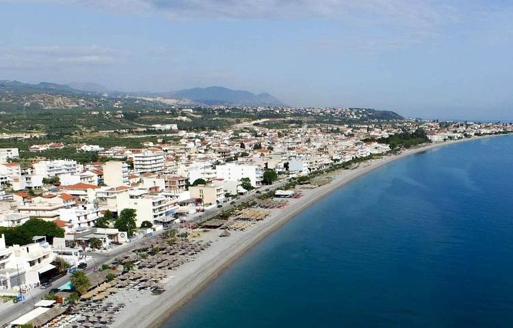
Kiato
Wyprawa rowerowa z 4 etapami, rozpoczynająca się w Kiáto, Peloponnese, Grecja.
Przegląd
O tej trasie
Ta wycieczka rowerowa ma 4 etapy i łączną długość 432,4 km.
- 4
- Trasy
- -:--
- Czas
- 432,4 km
- Dystans
- ---
- Śr. Prędkość
- 4940 m
- Przewyższenia
- 4936 m
- Spadek
Jobak

utworzono 7 lat temu temu
Kiato
Etapy tej wycieczki
Wszystkie 4 etapy tej wycieczki można otworzyć na mapie lub w aplikacji Bikemap, aby uzyskać więcej szczegółów, gdzie możesz dostosować je w planerze tras lub pobrać jako plik GPX lub KML. Wykorzystaj je jako szablon do planowania własnej wycieczki lub pozwól Bikemap prowadzić Cię bezpośrednio po nich.


Kiato Medium 1
Trasa rowerowa w Kiáto, Peloponnese, Grecja
- 67,9 km
- Dystans
- 1196 m
- Przewyższenia
- 1192 m
- Spadek

Kiato Hard 1
Trasa rowerowa w Kiáto, Peloponnese, Grecja
This ride will lead us from Kiato through the busy villages of Vocha to the main climb of the day, up to the village of Stimaga known wordwide for its sultana raisins. At the end of the climb we'll lay our eyes on the Valley of Nemea, the ''Bordeaux'' area of Greece. On the way down, through the vi…
- 80,2 km
- Dystans
- 1405 m
- Przewyższenia
- 1405 m
- Spadek

Kiato Pro
Trasa rowerowa w Kiáto, Peloponnese, Grecja
Following Hercules completing his labours is not an easy task. We ll start from thebusy city of Kiato by riding the flat road that connects the villages of Vocha with Corinth and Isthmos. Soon after we start climbing the fisrt slopes of Galataki village, Anc Kleonai, and Anc, Nemea, where the my…
- 199,7 km
- Dystans
- 2282 m
- Przewyższenia
- 2281 m
- Spadek