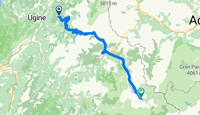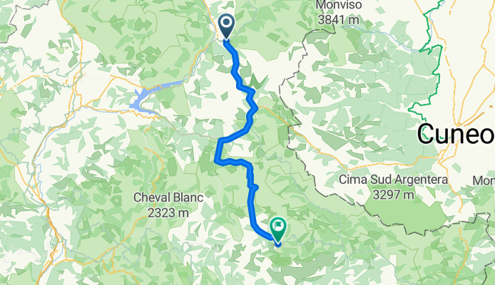
1207xx Basel Nice
Wyprawa rowerowa z 10 etapów, rozpoczynająca się w Basel, Canton of Basel-Stadt, Switzerland.
Przegląd
O tej trasie
Ta wycieczka rowerowa ma 10 etapów i łączną długość 907,2 km.
- 10
- Trasy
- -:--
- Czas
- 907,2 km
- Dystans
- ---
- Śr. Prędkość
- 16 458 m
- Przewyższenia
- 16 724 m
- Spadek
1207xx Basel Nice
Etapy tej wycieczki
Wszystkie 10 etapy tej wycieczki można otworzyć na mapie lub w aplikacji Bikemap, aby uzyskać więcej szczegółów, gdzie możesz dostosować je w planerze tras lub pobrać jako plik GPX lub KML. Wykorzystaj je jako szablon do planowania własnej wycieczki lub pozwól Bikemap prowadzić Cię bezpośrednio po nich.
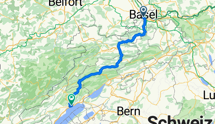
01-120-Basel --- Neuchatel
Trasa rowerowa w Basel, Canton of Basel-Stadt, Switzerland
- 116,9 km
- Dystans
- 1160 m
- Przewyższenia
- 972 m
- Spadek
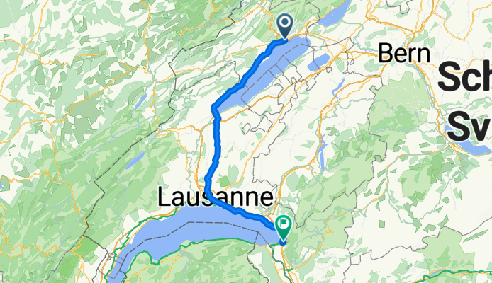
02-100-Neuchatel --- Villeneuve
Trasa rowerowa w Neuchâtel, Canton of Neuchâtel, Switzerland
- 101 km
- Dystans
- 555 m
- Przewyższenia
- 657 m
- Spadek
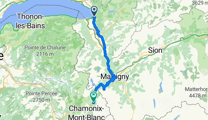
03-070-Villeneuve --- Argentiere
Trasa rowerowa w Villeneuve, Canton of Vaud, Switzerland
- 72,6 km
- Dystans
- 1588 m
- Przewyższenia
- 736 m
- Spadek
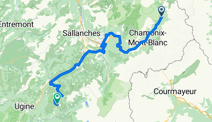
04-074-Argentiere --- Les-Saisies
Trasa rowerowa w Chamonix, Auvergne-Rhône-Alpes, France
- 74 km
- Dystans
- 1397 m
- Przewyższenia
- 1012 m
- Spadek
05-086-Les Saisies --- Val-d'isere
Trasa rowerowa w Beaufort, Auvergne-Rhône-Alpes, France
- 86,4 km
- Dystans
- 2388 m
- Przewyższenia
- 2203 m
- Spadek
06-90-Val d'Isere --- Saint-Michel-de-Maurienne
Trasa rowerowa w Val d'Isère, Auvergne-Rhône-Alpes, France
- 89,3 km
- Dystans
- 1072 m
- Przewyższenia
- 2167 m
- Spadek
07-123-Saint-Michel-de-Maurienne --- Guillestre
Trasa rowerowa w Saint-Michel-de-Maurienne, Auvergne-Rhône-Alpes, France
- 123,1 km
- Dystans
- 3280 m
- Przewyższenia
- 2981 m
- Spadek
08-112-Guillestre -- Guilloumes
Trasa rowerowa w Guillestre, Provence-Alpes-Côte d'Azur Region, France
- 111,7 km
- Dystans
- 2361 m
- Przewyższenia
- 2581 m
- Spadek
09-72-Guillestre --- St. Martin-Vesubie
Trasa rowerowa w Puget-Théniers, Provence-Alpes-Côte d'Azur Region, France
- 72,1 km
- Dystans
- 2208 m
- Przewyższenia
- 2015 m
- Spadek
10-60-Saint Martin Vesubie --- Nice
Trasa rowerowa w Saint-Martin-Vésubie, Provence-Alpes-Côte d'Azur Region, France
- 60,2 km
- Dystans
- 449 m
- Przewyższenia
- 1400 m
- Spadek
