
KIN-22L Spring 2020
Wyprawa rowerowa z 17 etapów, rozpoczynająca się w Santa Cruz, Kalifornia, USA.
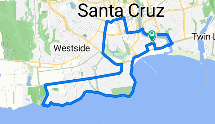
Przegląd
O tej trasie
Cabrillo College KIN-22L Ćwiczenie, ponieważ WEC było zamknięte z powodu COVID-19.
- 17
- Trasy
- -:--
- Czas
- 248,7 km
- Dystans
- ---
- Śr. Prędkość
- 897 m
- Przewyższenia
- 901 m
- Spadek

utworzono 5 lat temu temu
KIN-22L Spring 2020
Etapy tej wycieczki
Wszystkie 17 etapy tej wycieczki można otworzyć na mapie lub w aplikacji Bikemap, aby uzyskać więcej szczegółów, gdzie możesz dostosować je w planerze tras lub pobrać jako plik GPX lub KML. Wykorzystaj je jako szablon do planowania własnej wycieczki lub pozwól Bikemap prowadzić Cię bezpośrednio po nich.


2020-04-10 Bike Ride
Trasa rowerowa w Santa Cruz, Kalifornia, USA
- 10,9 km
- Dystans
- 33 m
- Przewyższenia
- 36 m
- Spadek

2020-04-11 Bike Route 3
Trasa rowerowa w Santa Cruz, Kalifornia, USA
- 13,9 km
- Dystans
- 45 m
- Przewyższenia
- 47 m
- Spadek

2020-04-14 Bike Ride
Trasa rowerowa w Santa Cruz, Kalifornia, USA
- 13,7 km
- Dystans
- 29 m
- Przewyższenia
- 31 m
- Spadek

2020-04-15 Bike ride
Trasa rowerowa w Santa Cruz, Kalifornia, USA
- 14 km
- Dystans
- 55 m
- Przewyższenia
- 59 m
- Spadek

2020-04-18 Bike Route
Trasa rowerowa w Santa Cruz, Kalifornia, USA
- 14,8 km
- Dystans
- 53 m
- Przewyższenia
- 53 m
- Spadek
2020-04-23 Bike Ride
Trasa rowerowa w Santa Cruz, Kalifornia, USA
- 13,6 km
- Dystans
- 38 m
- Przewyższenia
- 39 m
- Spadek

2020-04-24 Bike Ride (In Reverse)
Trasa rowerowa w Santa Cruz, Kalifornia, USA
- 14,5 km
- Dystans
- 32 m
- Przewyższenia
- 31 m
- Spadek

2020-04-25 Bike Ride
Trasa rowerowa w Santa Cruz, Kalifornia, USA
- 14,7 km
- Dystans
- 55 m
- Przewyższenia
- 57 m
- Spadek

2020-04-30 New Bike Route - Increasing the distance.
Trasa rowerowa w Santa Cruz, Kalifornia, USA
- 14,9 km
- Dystans
- 60 m
- Przewyższenia
- 61 m
- Spadek

2010-05-01 Bike Ride
Trasa rowerowa w Santa Cruz, Kalifornia, USA
- 13,3 km
- Dystans
- 38 m
- Przewyższenia
- 38 m
- Spadek

2020-05-02 (Extended Route)
Trasa rowerowa w Santa Cruz, Kalifornia, USA
- 17 km
- Dystans
- 98 m
- Przewyższenia
- 98 m
- Spadek

2020-05-05 Cinco de Mayo
Trasa rowerowa w Santa Cruz, Kalifornia, USA
- 16,2 km
- Dystans
- 85 m
- Przewyższenia
- 83 m
- Spadek