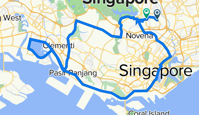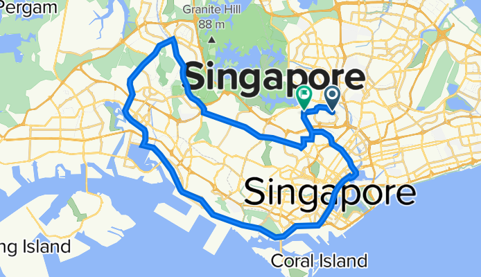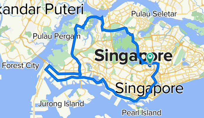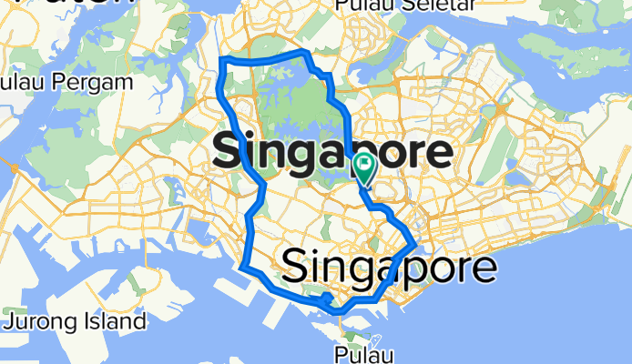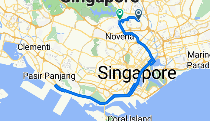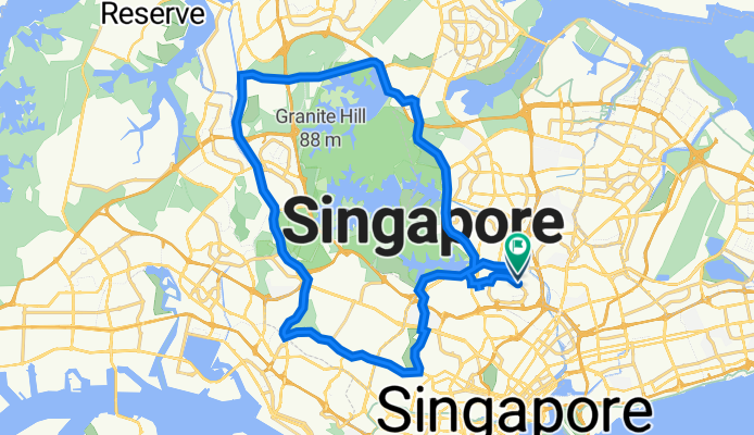
CRS Group ride Routes
Wyprawa rowerowa z 10 etapów, rozpoczynająca się w Singapore, Central Singapore Community Development Council, Singapore.
Przegląd
O tej trasie
Ta wycieczka rowerowa ma 10 etapów i łączną długość 564,2 km.
- 10
- Trasy
- 20 h 35 min
- Czas
- 564,2 km
- Dystans
- 27,4 km/h
- Śr. Prędkość
- 6708 m
- Przewyższenia
- 6779 m
- Spadek
CRS Group ride Routes
Etapy tej wycieczki
Wszystkie 10 etapy tej wycieczki można otworzyć na mapie lub w aplikacji Bikemap, aby uzyskać więcej szczegółów, gdzie możesz dostosować je w planerze tras lub pobrać jako plik GPX lub KML. Wykorzystaj je jako szablon do planowania własnej wycieczki lub pozwól Bikemap prowadzić Cię bezpośrednio po nich.
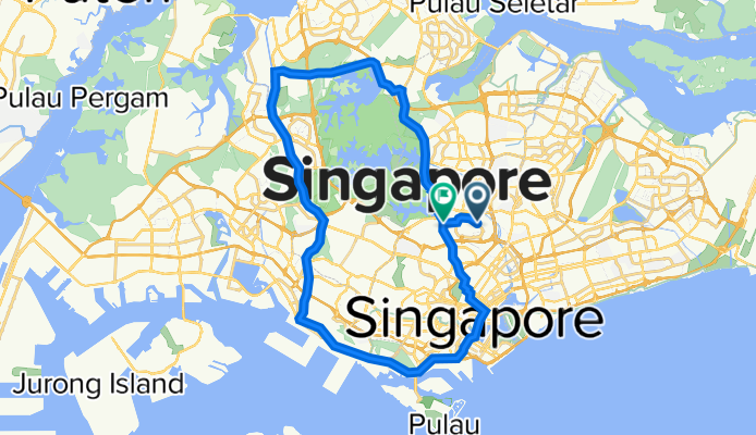
CRS base : 50km Pandan Loop
Trasa rowerowa w Singapore, Central Singapore Community Development Council, Singapore
- 50,1 km
- Dystans
- 652 m
- Przewyższenia
- 652 m
- Spadek
CRS - 50km (WCH -BTR)
Trasa rowerowa w Singapore, Central Singapore Community Development Council, Singapore
- 50,3 km
- Dystans
- 632 m
- Przewyższenia
- 643 m
- Spadek
CRS- Extended Western Loop + Jurong Hill
Trasa rowerowa w Singapore, Central Singapore Community Development Council, Singapore
- 91,2 km
- Dystans
- 987 m
- Przewyższenia
- 990 m
- Spadek
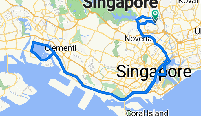
CRS-Mt Faber Loop
Trasa rowerowa w Singapore, Central Singapore Community Development Council, Singapore
- 55 km
- Dystans
- 621 m
- Przewyższenia
- 651 m
- Spadek
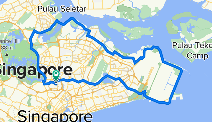
CRS - 70km TMCR_Barley (C)
Trasa rowerowa w Singapore, Central Singapore Community Development Council, Singapore
- 71,2 km
- Dystans
- 562 m
- Przewyższenia
- 562 m
- Spadek
CRS - 51km LH5 (AC)
Trasa rowerowa w Singapore, Central Singapore Community Development Council, Singapore
- 51,7 km
- Dystans
- 705 m
- Przewyższenia
- 712 m
- Spadek
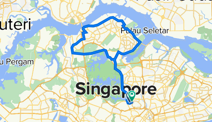
CRS-50km Northern Cloud Loop (AC)
Trasa rowerowa w Singapore, Central Singapore Community Development Council, Singapore
- 52,7 km
- Dystans
- 506 m
- Przewyższenia
- 508 m
- Spadek
CRS - 53km Base
Trasa rowerowa w Singapore, Central Singapore Community Development Council, Singapore
- 56,8 km
- Dystans
- 766 m
- Przewyższenia
- 771 m
- Spadek
CRS - WCH Magic Loop
Trasa rowerowa w Singapore, Central Singapore Community Development Council, Singapore
- 40,6 km
- Dystans
- 745 m
- Przewyższenia
- 754 m
- Spadek
CRS - 44km HoP
Trasa rowerowa w Singapore, Central Singapore Community Development Council, Singapore
- 44,7 km
- Dystans
- 532 m
- Przewyższenia
- 537 m
- Spadek

