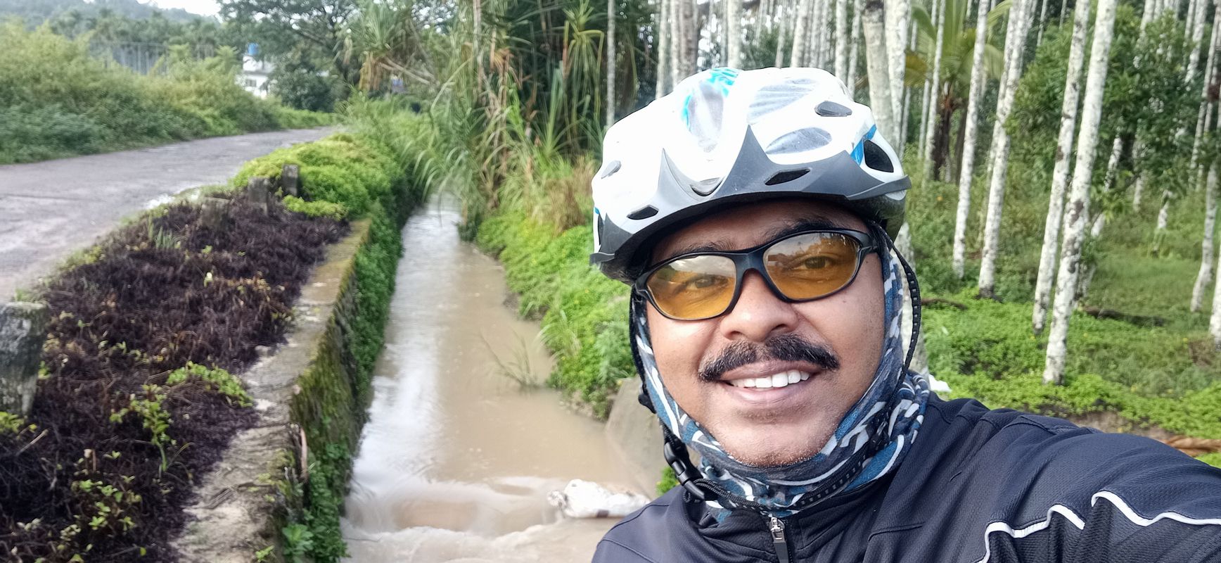
Panamaram na rowerze
Odkrywaj mapę z 80 trasami rowerowymi i szlakami w pobliżu Panamaram, stworzonymi przez naszą społeczność.
Portret regionu
Poznaj Panamaram
Znajdź odpowiednią trasę rowerową dla siebie w Panamaram – mamy tam 80 tras do odkrycia. Większość osób wybiera się tutaj na rower w miesiącach Luty i Czerwiec.
1283 km
Zarejestrowany dystans
80
Trasy rowerowe
11 651
Populacja
Wspólnota
Najaktywniejsi użytkownicy w Panamaram
Od naszej społeczności
Najlepsze trasy rowerowe w Panamaram i okolicach
Sulthan Bathery - Chulliyode - Pandalur - Gudalur Road, Sultan Bathery to Sulthan Bathery - Chulliyode - Pandalur - Gudalur Road, Sultan Bathery
Trasa rowerowa w Panamaram, State of Kerala, Indie
- 16,5 km
- Dystans
- 362 m
- Przewyższenia
- 388 m
- Spadek
Sulthan Bathery - Chulliyode - Pandalur - Gudalur Road, Sultan Bathery to Sulthan Bathery - Thaloor Road, Nenmeni
Trasa rowerowa w Panamaram, State of Kerala, Indie
- 8,8 km
- Dystans
- 141 m
- Przewyższenia
- 149 m
- Spadek
Sulthan Bathery - Chulliyode - Pandalur - Gudalur Road, Sultan Bathery to Sulthan Bathery - Chulliyode - Pandalur - Gudalur Road, Sultan Bathery
Trasa rowerowa w Panamaram, State of Kerala, Indie
- 17,8 km
- Dystans
- 488 m
- Przewyższenia
- 572 m
- Spadek
Sulthan Bathery - Chulliyode - Pandalur - Gudalur Road, Sultan Bathery to Sulthan Bathery - Chulliyode - Pandalur - Gudalur Road, Sultan Bathery
Trasa rowerowa w Panamaram, State of Kerala, Indie
- 9,7 km
- Dystans
- 168 m
- Przewyższenia
- 100 m
- Spadek
Odkryj więcej tras
 Route to Thirunelli Temple
- Dystans
- 37,7 km
- Przewyższenia
- 1040 m
- Spadek
- 946 m
- Lokalizacja
- Panamaram, State of Kerala, Indie
 Sulthanbathery to Vythiri
- Dystans
- 43,8 km
- Przewyższenia
- 728 m
- Spadek
- 872 m
- Lokalizacja
- Panamaram, State of Kerala, Indie
 Sulthanbathery to Vythiri
- Dystans
- 42,3 km
- Przewyższenia
- 641 m
- Spadek
- 772 m
- Lokalizacja
- Panamaram, State of Kerala, Indie
 Relaxed route in Sultan Bathery
- Dystans
- 8 km
- Przewyższenia
- 226 m
- Spadek
- 254 m
- Lokalizacja
- Panamaram, State of Kerala, Indie
 Sulthan Bathery - Chulliyode - Pandalur - Gudalur Road, Sultan Bathery to Mahatma Gandhi Road, Sultan Bathery
- Dystans
- 41,6 km
- Przewyższenia
- 958 m
- Spadek
- 1007 m
- Lokalizacja
- Panamaram, State of Kerala, Indie
 Manichira - Pallikandi Road, Sultan Bathery to Maha Shiva Kshethram Road, Karivellur
- Dystans
- 164,2 km
- Przewyższenia
- 2505 m
- Spadek
- 3403 m
- Lokalizacja
- Panamaram, State of Kerala, Indie
 Krishnagiri to Krishnagiri
- Dystans
- 16,6 km
- Przewyższenia
- 287 m
- Spadek
- 190 m
- Lokalizacja
- Panamaram, State of Kerala, Indie
 Steady ride in Sultan Bathery
- Dystans
- 8,4 km
- Przewyższenia
- 187 m
- Spadek
- 203 m
- Lokalizacja
- Panamaram, State of Kerala, Indie


