MTS Solo Ride (2)
- 43,4 km
- 145 m
- 145 m
- Ban Chang, Prowincja Rayong, Tajlandia

Znajdź odpowiednią trasę rowerową dla siebie w Ban Chang – mamy tam 115 tras do odkrycia. Większość osób wybiera się tutaj na rower w miesiącach Marzec i Maj.
Zarejestrowany dystans
Trasy rowerowe
Populacja
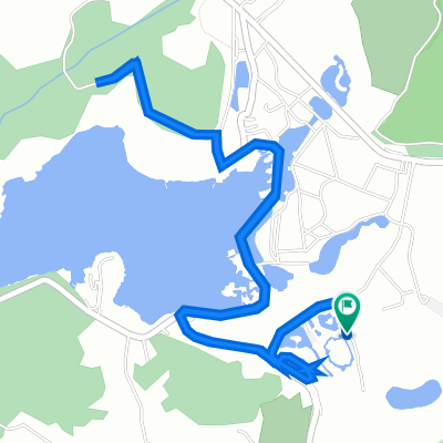
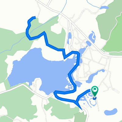
Trasa rowerowa w Ban Chang, Prowincja Rayong, Tajlandia
Trasa rowerowa w Ban Chang, Prowincja Rayong, Tajlandia
Trasa rowerowa w Ban Chang, Prowincja Rayong, Tajlandia
Trasa rowerowa w Ban Chang, Prowincja Rayong, Tajlandia