


763−2, 川口市 to 1丁目 20, 秩父市
- 94 km
- 3113 m
- 2878 m
- Hatogaya-honchō, Prefektura Saitama, Japonia

Odkrywaj mapę z 43 trasami rowerowymi i szlakami w pobliżu Hatogaya-honchō, stworzonymi przez naszą społeczność.
Portret regionu
Znajdź odpowiednią trasę rowerową dla siebie w Hatogaya-honchō – mamy tam 43 tras do odkrycia.
1155 km
Zarejestrowany dystans
43
Trasy rowerowe
53 062
Populacja
Wspólnota
Od naszej społeczności
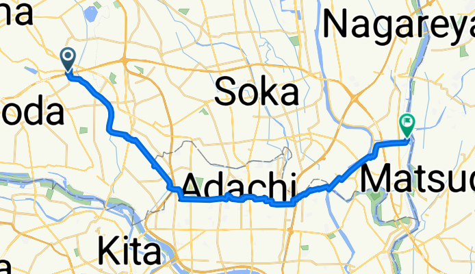
Trasa rowerowa w Hatogaya-honchō, Prefektura Saitama, Japonia
Trasa rowerowa w Hatogaya-honchō, Prefektura Saitama, Japonia
Trasa rowerowa w Hatogaya-honchō, Prefektura Saitama, Japonia
Trasa rowerowa w Hatogaya-honchō, Prefektura Saitama, Japonia


