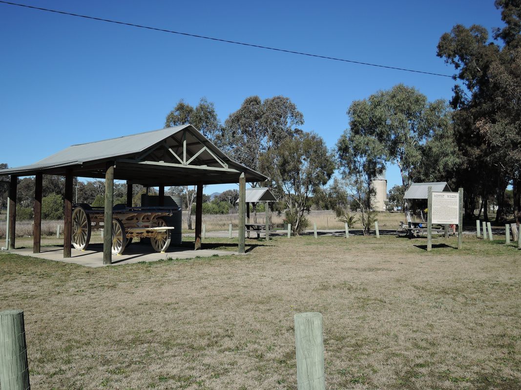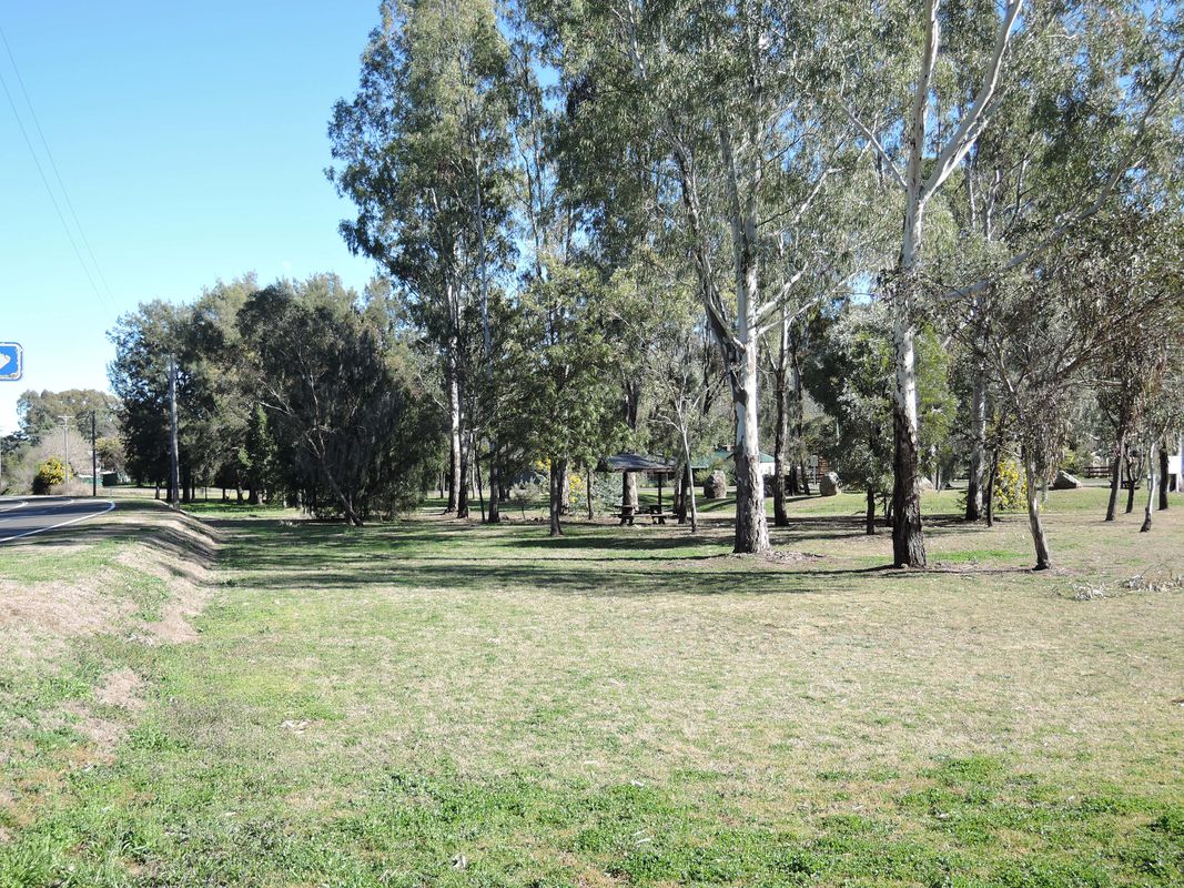
Quirindi na rowerze
Odkrywaj mapę rowerową Quirindi, z wyróżnionymi ścieżkami, szlakami i punktami zainteresowania.
Bądź pionierem
Zainspiruj innych rowerzystów swoją trasą w Quirindi
Bikemap to globalna społeczność rowerowa z milionami tras tworzonych przez rowerzystów takich jak Ty. W Quirindi jest na razie tylko kilka tras, więc narysuj swoje ulubione przejazdy na mapie, by pomóc innym odkryć najlepsze trasy.
Od naszej społeczności
Najlepsze trasy rowerowe w Quirindi i okolicach
New England Highway (shoulders)
Trasa rowerowa w Quirindi, Nowa Południowa Walia, Australia
- 27,2 km
- Dystans
- 295 m
- Przewyższenia
- 93 m
- Spadek
Werris Creek to Kootingal
Trasa rowerowa w Quirindi, Nowa Południowa Walia, Australia
- 64,9 km
- Dystans
- 303 m
- Przewyższenia
- 253 m
- Spadek


