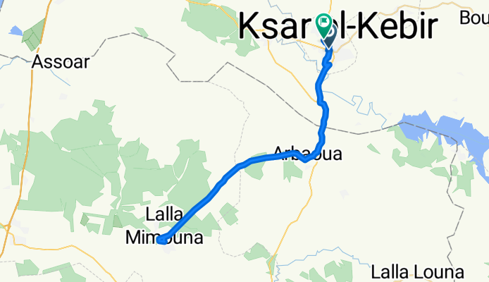
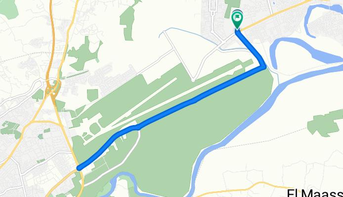
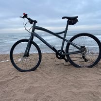
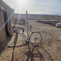
- 252,1 km
- 3795 m
- 3804 m
- Tiznit, Région de Souss-Massa-Drâa, Maroko

Maroko na rowerze
Odkrywaj mapę z 4991 trasami rowerowymi i szlakami w Maroko, stworzonymi przez naszą społeczność.
Portret regionu
Poznaj Maroko
Create and find the best bike routes in Morocco with the bike route planner. The North African country is characterised by its varying surface shapes: Next to dry desert landscapes and sandy coasts, there are also trans-montane and montane regions so that cyclists of every skill level get their money’s worth. The country’s assets are best experienced in spring or fall.
820 775 km
Zarejestrowany dystans
4991
Trasy rowerowe
31,6 milionów
Populacja
Wspólnota
Najaktywniejsi użytkownicy w Maroko
Starannie wybrane trasy
Odkryj Maroko dzięki tym kolekcjom
- Wycieczka
 Wycieczka
 Wycieczka
 Wycieczka
Od naszej społeczności
Najlepsze trasy rowerowe w Maroko
larache
Trasa rowerowa w Ksar El Kebir, Région de Tanger-Tétouan, Maroko
- 34,7 km
- Dystans
- 157 m
- Przewyższenia
- 184 m
- Spadek
N7 to N7Marrakesh
Trasa rowerowa w Marrakesz, Marrakech-Tensift-Al Haouz, Maroko
- 76,5 km
- Dystans
- 191 m
- Przewyższenia
- 189 m
- Spadek
Route supersonique
Trasa rowerowa w Ksar El Kebir, Région de Tanger-Tétouan, Maroko
- 58,4 km
- Dystans
- 478 m
- Przewyższenia
- 498 m
- Spadek
martil-->tétoune
Trasa rowerowa w Martil, Région de Tanger-Tétouan, Maroko
- 11,4 km
- Dystans
- 9 m
- Przewyższenia
- 62 m
- Spadek
Odkryj więcej tras
- Tiznit - Tafaroute - Taroundat (Beste Version)
- Parcours modéré
- 10,8 km
- 29 m
- 30 m
- Martil, Région de Tanger-Tétouan, Maroko
- Parcours détendu
- 10,8 km
- 29 m
- 64 m
- Martil, Région de Tanger-Tétouan, Maroko
- Rue 16, Casablanca à Rue 16, Casablanca
- 39,4 km
- 226 m
- 235 m
- Casablanca, Région du Grand Casablanca, Maroko
- Rue Chajarat El Ijjasse to Rue Chajarat El Ijjasse
- 41,1 km
- 74 m
- 169 m
- Marrakesz, Marrakech-Tensift-Al Haouz, Maroko
- Parcours rapide
- 63,4 km
- 643 m
- 614 m
- Berkane, Oriental Region, Maroko
- Parcours détendu
- 9,6 km
- 59 m
- 170 m
- Zaïo, Oriental Region, Maroko
- Une course folle
- 34,9 km
- 141 m
- 160 m
- Ksar El Kebir, Région de Tanger-Tétouan, Maroko
Najważniejsze momenty
- You can admire the sand dunes, ride on camels or surf on dunes in the eastern Sahara region.
- Visit the Bahia Palace, the old district (medina), the Medersa (a former Islamic college) and the Koutoubia Mosque which’s minaret is 70 metres high in Marrakech.
- Pay a visit to the UNESCO world culture heritage Volubilis. Volubilis is an ancient Roman city close to Meknes. When visiting the ruins, you’ll go back in time.
Wskazówki
- Almost all streets in Morocco are in a good shape and surfaced.
- Learn how to bargain. After a few days, you’ll get a feeling for the appropriate prices.
- There are many camping sites that are well worth your money. However, in August, the country is overrun by the vacationing French.
Zobacz, gdzie ludzie jeżdżą na rowerze w Maroko
Popularne regiony do jazdy na rowerze w Maroko


