Queensferry na rowerze
Odkrywaj mapę z 193 trasami rowerowymi i szlakami w pobliżu Queensferry, stworzonymi przez naszą społeczność.
Portret regionu
Poznaj Queensferry
Znajdź odpowiednią trasę rowerową dla siebie w Queensferry – mamy tam 193 tras do odkrycia. Większość osób wybiera się tutaj na rower w miesiącach Kwiecień i Czerwiec.
9646 km
Zarejestrowany dystans
193
Trasy rowerowe
9477
Populacja
Wspólnota
Najaktywniejsi użytkownicy w Queensferry
Od naszej społeczności
Najlepsze trasy rowerowe w Queensferry i okolicach
Sth queensferry
Trasa rowerowa w Queensferry, Szkocja, Zjednoczone Królestwo Wielkiej Brytanii
- 19,4 km
- Dystans
- 140 m
- Przewyższenia
- 175 m
- Spadek
01_Edinburgh-StAndrews_2016-06-18
Trasa rowerowa w Queensferry, Szkocja, Zjednoczone Królestwo Wielkiej Brytanii
- 72,8 km
- Dystans
- 471 m
- Przewyższenia
- 395 m
- Spadek
St Margarets Way-South Queensferry to Burntisland
Trasa rowerowa w Queensferry, Szkocja, Zjednoczone Królestwo Wielkiej Brytanii
- 20,4 km
- Dystans
- 165 m
- Przewyższenia
- 170 m
- Spadek
South_Queensferry_Falkirk_Grangemouth
Trasa rowerowa w Queensferry, Szkocja, Zjednoczone Królestwo Wielkiej Brytanii
- 28,7 km
- Dystans
- 173 m
- Przewyższenia
- 188 m
- Spadek
Odkryj więcej tras
 SQF - Linlithgow - SQF
- Dystans
- 41,8 km
- Przewyższenia
- 327 m
- Spadek
- 331 m
- Lokalizacja
- Queensferry, Szkocja, Zjednoczone Królestwo Wielkiej Brytanii
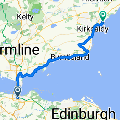 From South Queensferry to Kirkcaldy
- Dystans
- 35,1 km
- Przewyższenia
- 400 m
- Spadek
- 435 m
- Lokalizacja
- Queensferry, Szkocja, Zjednoczone Królestwo Wielkiej Brytanii
 Edinburgh to St. Andrews
- Dystans
- 72 km
- Przewyższenia
- 424 m
- Spadek
- 420 m
- Lokalizacja
- Queensferry, Szkocja, Zjednoczone Królestwo Wielkiej Brytanii
 1.Tag Loch Tummel
- Dystans
- 125,6 km
- Przewyższenia
- 1102 m
- Spadek
- 998 m
- Lokalizacja
- Queensferry, Szkocja, Zjednoczone Królestwo Wielkiej Brytanii
 57 The Loan, South Queensferry to 43/1 Arden St, Edinburgh
- Dystans
- 17,1 km
- Przewyższenia
- 445 m
- Spadek
- 376 m
- Lokalizacja
- Queensferry, Szkocja, Zjednoczone Królestwo Wielkiej Brytanii
 24 High Street, South Queensferry to 6 Hopetoun Street, Edinburgh
- Dystans
- 17,9 km
- Przewyższenia
- 160 m
- Spadek
- 149 m
- Lokalizacja
- Queensferry, Szkocja, Zjednoczone Królestwo Wielkiej Brytanii
 Sunday afternoon ride
- Dystans
- 22,1 km
- Przewyższenia
- 174 m
- Spadek
- 173 m
- Lokalizacja
- Queensferry, Szkocja, Zjednoczone Królestwo Wielkiej Brytanii
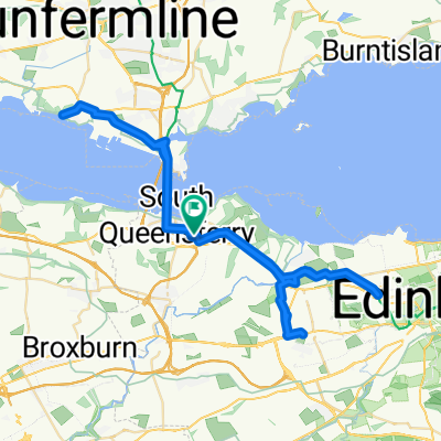 Easter
- Dystans
- 52 km
- Przewyższenia
- 336 m
- Spadek
- 335 m
- Lokalizacja
- Queensferry, Szkocja, Zjednoczone Królestwo Wielkiej Brytanii
Trasy do Queensferry
Szybka przejażdżka rowerowa od
Z Edynburg do Queensferry


