
Prestonpans na rowerze
Odkrywaj mapę z 38 trasami rowerowymi i szlakami w pobliżu Prestonpans, stworzonymi przez naszą społeczność.
Portret regionu
Poznaj Prestonpans
Znajdź odpowiednią trasę rowerową dla siebie w Prestonpans – mamy tam 38 tras do odkrycia.
1563 km
Zarejestrowany dystans
38
Trasy rowerowe
7145
Populacja
Wspólnota
Najaktywniejsi użytkownicy w Prestonpans


Od naszej społeczności
Najlepsze trasy rowerowe w Prestonpans i okolicach

bike tour through Prestonpans
Trasa rowerowa w Prestonpans, Szkocja, Zjednoczone Królestwo Wielkiej Brytanii
- 18,1 km
- Dystans
- 161 m
- Przewyższenia
- 159 m
- Spadek

Pans to Oxton - Club ride in the middle !
Trasa rowerowa w Prestonpans, Szkocja, Zjednoczone Królestwo Wielkiej Brytanii
- 84,5 km
- Dystans
- 506 m
- Przewyższenia
- 293 m
- Spadek

B1348, Drummohr, Prestonpans to 1 Milton Link, Edinburgh
Trasa rowerowa w Prestonpans, Szkocja, Zjednoczone Królestwo Wielkiej Brytanii
- 8,4 km
- Dystans
- 55 m
- Przewyższenia
- 39 m
- Spadek

Prestonpans Cycling
Trasa rowerowa w Prestonpans, Szkocja, Zjednoczone Królestwo Wielkiej Brytanii
- 70,9 km
- Dystans
- 964 m
- Przewyższenia
- 892 m
- Spadek
Garmin Edge800®
Odkryj więcej tras
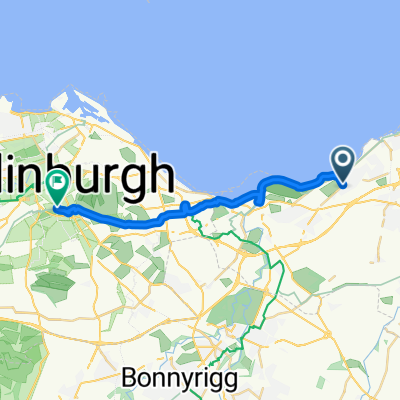 Prestonpans to Edinburgh
- Dystans
- 16,4 km
- Przewyższenia
- 98 m
- Spadek
- 35 m
- Lokalizacja
- Prestonpans, Szkocja, Zjednoczone Królestwo Wielkiej Brytanii
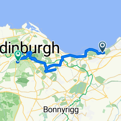 Long bike tour from Prestonpans to エディンバラ
- Dystans
- 30,5 km
- Przewyższenia
- 313 m
- Spadek
- 233 m
- Lokalizacja
- Prestonpans, Szkocja, Zjednoczone Królestwo Wielkiej Brytanii
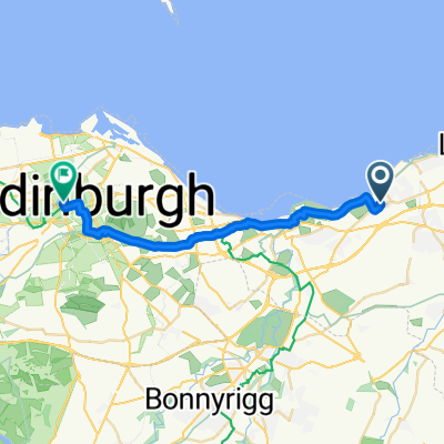
 14 The Pottery, High St, Prestonpans to 13 The Pottery, High St, Prestonpans
- Dystans
- 54,3 km
- Przewyższenia
- 161 m
- Spadek
- 160 m
- Lokalizacja
- Prestonpans, Szkocja, Zjednoczone Królestwo Wielkiej Brytanii
 Easy ride in Edinburgh
- Dystans
- 11,8 km
- Przewyższenia
- 0 m
- Spadek
- 3 m
- Lokalizacja
- Prestonpans, Szkocja, Zjednoczone Królestwo Wielkiej Brytanii
 Wallyford to Gullane
- Dystans
- 35,3 km
- Przewyższenia
- 99 m
- Spadek
- 99 m
- Lokalizacja
- Prestonpans, Szkocja, Zjednoczone Królestwo Wielkiej Brytanii
 13 Mallard Walk, Prestonpans to 1–3 Saint Colme Street, Edinburgh
- Dystans
- 17,5 km
- Przewyższenia
- 90 m
- Spadek
- 50 m
- Lokalizacja
- Prestonpans, Szkocja, Zjednoczone Królestwo Wielkiej Brytanii
 poppymedium2022
- Dystans
- 109,9 km
- Przewyższenia
- 0 m
- Spadek
- 0 m
- Lokalizacja
- Prestonpans, Szkocja, Zjednoczone Królestwo Wielkiej Brytanii
 poppyshort2022
- Dystans
- 75,9 km
- Przewyższenia
- 0 m
- Spadek
- 0 m
- Lokalizacja
- Prestonpans, Szkocja, Zjednoczone Królestwo Wielkiej Brytanii