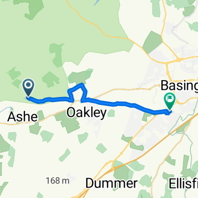


Road Popham whitchurch micheldever 36 miles
- 57,6 km
- 516 m
- 516 m
- Overton, Anglia, Zjednoczone Królestwo Wielkiej Brytanii

Odkrywaj mapę z 150 trasami rowerowymi i szlakami w pobliżu Overton, stworzonymi przez naszą społeczność.
Portret regionu
Znajdź odpowiednią trasę rowerową dla siebie w Overton – mamy tam 150 tras do odkrycia. Większość osób wybiera się tutaj na rower w miesiącach Maj i Lipiec.
5368 km
Zarejestrowany dystans
150
Trasy rowerowe
3392
Populacja
Wspólnota
Od naszej społeczności
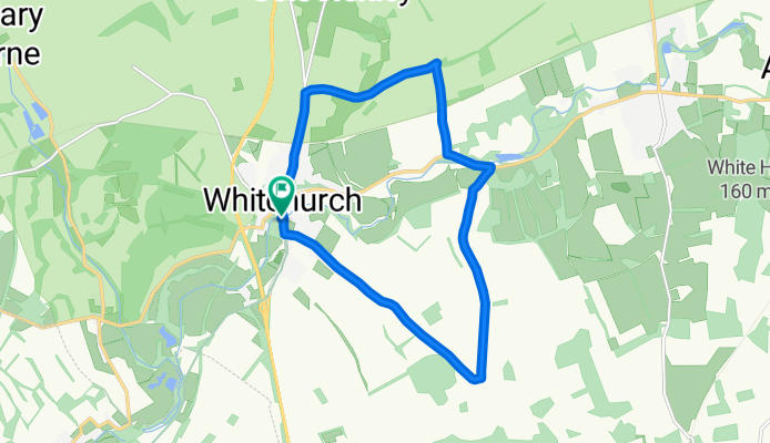
Trasa rowerowa w Overton, Anglia, Zjednoczone Królestwo Wielkiej Brytanii
Trasa rowerowa w Overton, Anglia, Zjednoczone Królestwo Wielkiej Brytanii
Trasa rowerowa w Overton, Anglia, Zjednoczone Królestwo Wielkiej Brytanii
Trasa rowerowa w Overton, Anglia, Zjednoczone Królestwo Wielkiej Brytanii